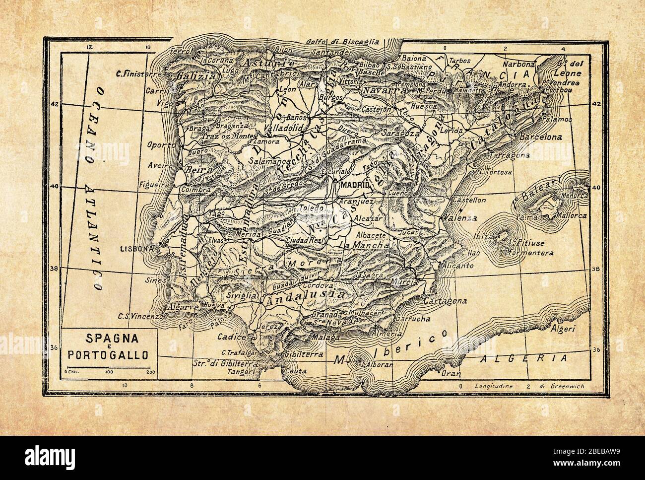
Ancient maps of Spain country on the Iberian Peninsula in Southwestern Europe across the Strait of Gibraltar and coasts on the Atlantic Ocean and the Mediterranean sea, with geographical Italian names and descriptions

RFID:Image ID:2BEBAW9
Image details
Contributor:
gameover / Alamy Stock PhotoImage ID:
2BEBAW9File size:
49.5 MB (4.6 MB Compressed download)Releases:
Model - no | Property - yesDo I need a release?Dimensions:
5060 x 3416 px | 42.8 x 28.9 cm | 16.9 x 11.4 inches | 300dpiDate taken:
29 March 2020More information:
This image could have imperfections as it’s either historical or reportage.