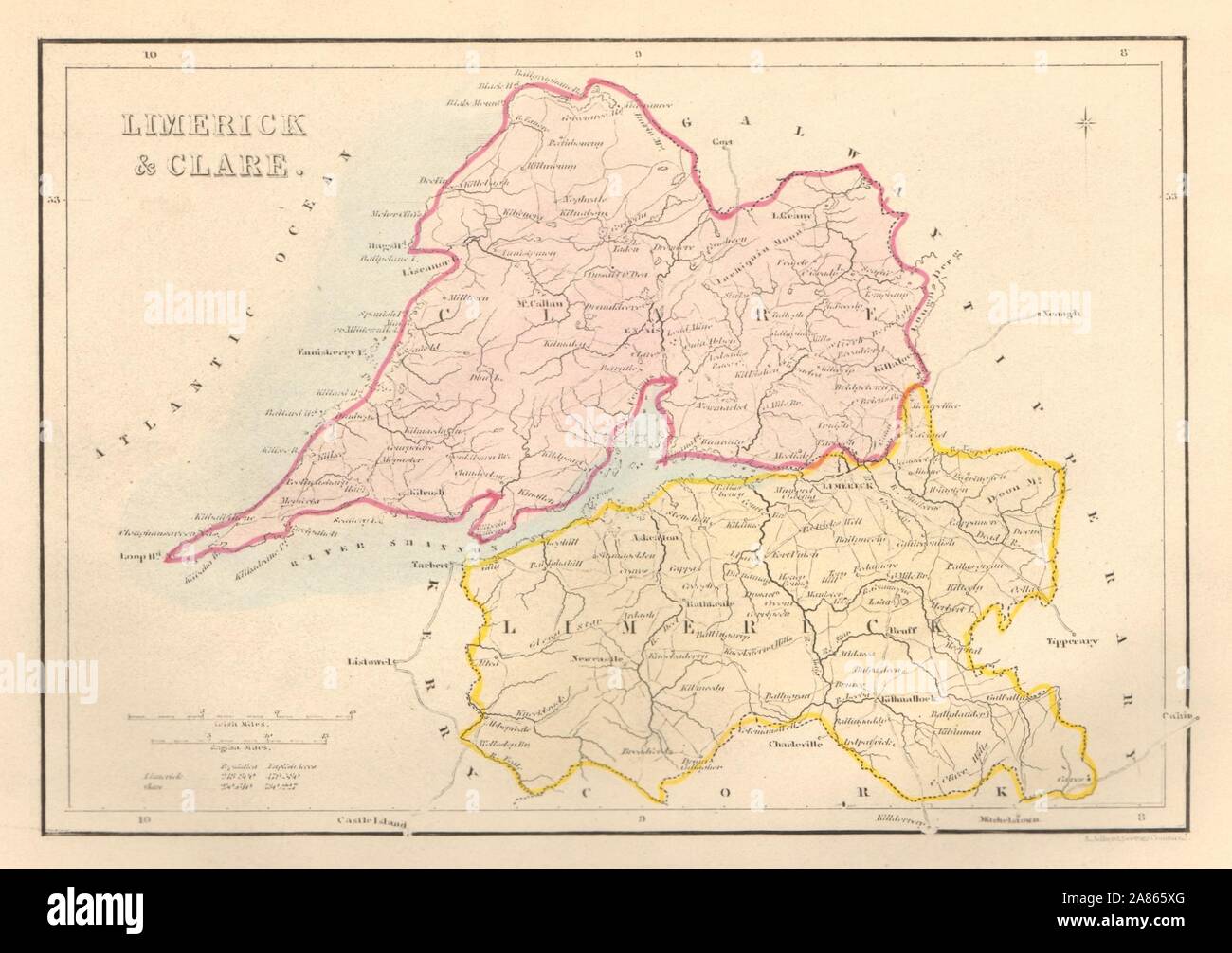
Antique LIMERICK & CLARE county map by Alfred ADLARD. Ireland 1843 old
RFID:Image ID:2A865XG
Image details
Contributor:
Antiqua Print Gallery / Alamy Stock PhotoImage ID:
2A865XGFile size:
13.1 MB (528 KB Compressed download)Releases:
Model - no | Property - noDo I need a release?Dimensions:
2544 x 1794 px | 21.5 x 15.2 cm | 8.5 x 6 inches | 300dpiDate taken:
1843Location:
IrelandMore information:
This image could have imperfections as it’s either historical or reportage.
Limerick & Clare. Artist/engraver/cartographer: Engraved by A. Adlard: Doctors Commons. Provenance: "Ireland: its scenery, character, &c".; by Mr. & Mrs. S. C. Hall, published by Hall, Virtue, and Co., London. Type: Antique steel engraved county map.