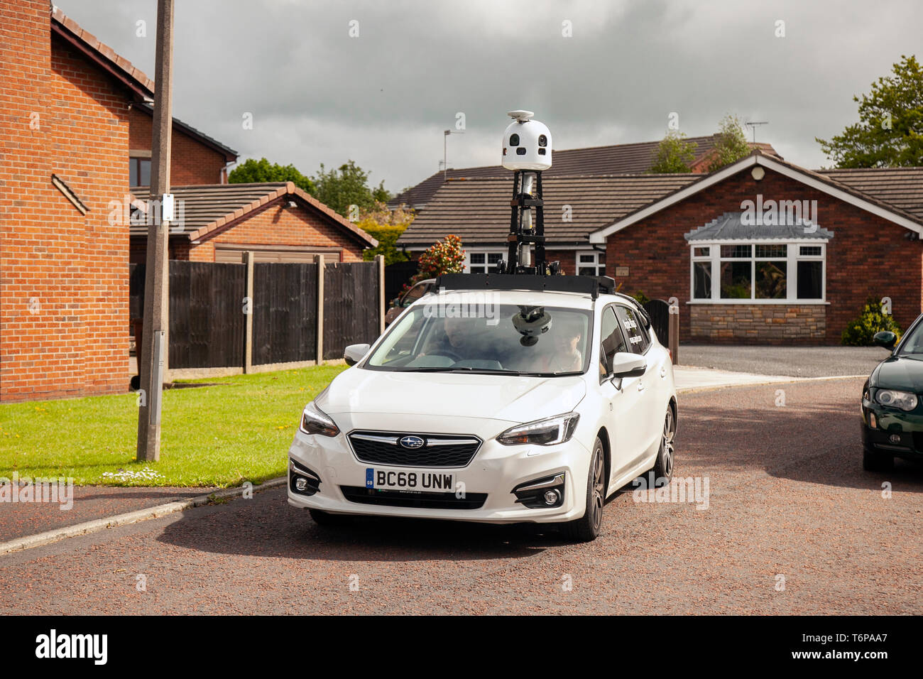
Apple Maps Street View cars in Tarleton, Lancashire, UK. May, 2019. Apple Maps update survey vehicle photographs the village's new housing developments. GPs updates are required for newly built houses and recently finished housing estates. Apple launched a new project to map widespread areas of the UK as part of a big upgrade of its Maps. It is equipped with a powerful 360 degree camera on its roof, designed to capture images from the front, rear, and sides as the vehicle travels. The car uses Lidar to create extraordinarily precise “point clouds,” a prerequisite for self-driving cars.

Image details
Contributor:
MediaWorldImages / Alamy Stock PhotoImage ID:
T6PAA7File size:
22.7 MB (1.2 MB Compressed download)Releases:
Model - no | Property - noDo I need a release?Dimensions:
3451 x 2301 px | 29.2 x 19.5 cm | 11.5 x 7.7 inches | 300dpiDate taken:
2 May 2019Location:
Tarleton, UKMore information:
This image could have imperfections as it’s either historical or reportage.
Cars are next-generation mapping vehicles capable of capturing VR-style, 360-degree street photos. Plus, the vans use Lidar to create extraordinarily precise “point clouds, ” a prerequisite for self-driving cars. Mesh those two databases together and you’ve laid the groundwork for an autonomous vehicle’s navigation system. It’s an “open secret” in Silicon Valley that Apple is working on a car. It’s likely to be electric like Tesla’s, and may be autonomous. Apple’s so-called Project Titan automotive initiative appears to be quite advanced, employing up to 600 staffers and moving beyond the prototype stage and into the early stages of production. Apple hasn’t confirmed anything, of course, but CEO Tim Cook recently offered a juicy non-denial when asked directly.