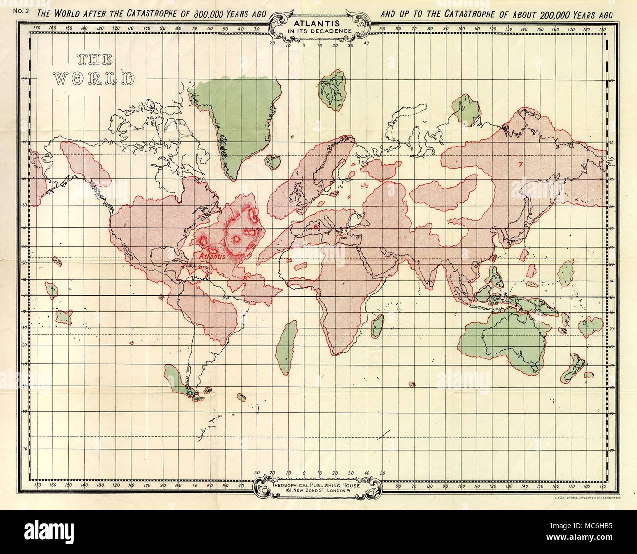
ATLANTIS Atlantis in its decadence. Map of Atlantis, and the world, shortly after the catastrophe of 800,000 BC. Fold-out map, published to accompany W. Scott-Elliot, The Story of Atlantis. A Geographical, Historical and Ethnological Skktch, 1909.

RMID:Image ID:MC6HB5
Image details
Contributor:
Charles Walker Collection / Alamy Stock PhotoImage ID:
MC6HB5File size:
20.6 MB (1.5 MB Compressed download)Releases:
Model - no | Property - noDo I need a release?Dimensions:
3000 x 2400 px | 25.4 x 20.3 cm | 10 x 8 inches | 300dpiDate taken:
13 April 2018Photographer:
Charles Walker CollectionMore information:
This image could have imperfections as it’s either historical or reportage.