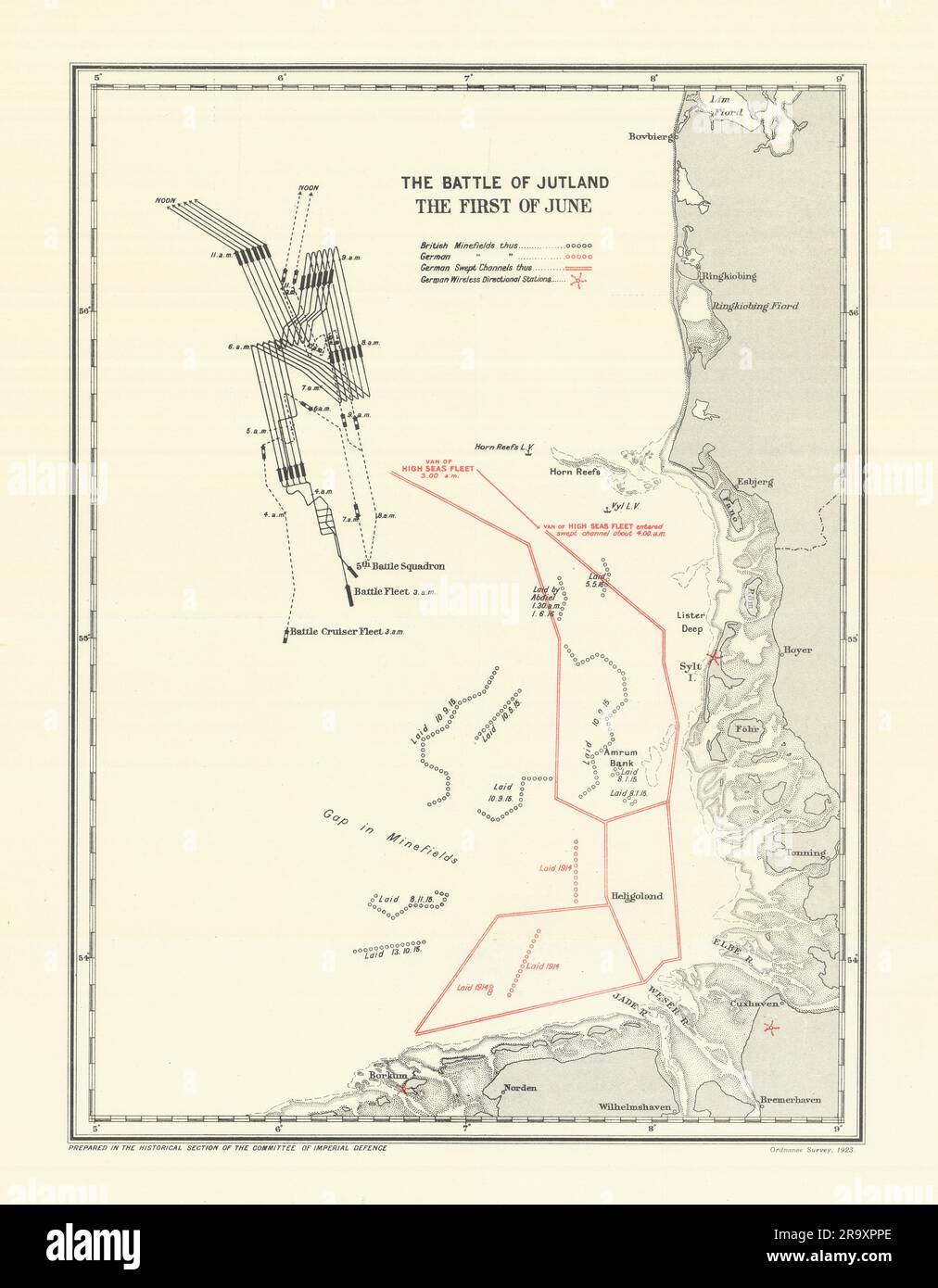
Battle of Jutland. First of June 1916. First World War. 1923 old vintage map

RFID:Image ID:2R9XPPE
Image details
Contributor:
Antiqua Print Gallery / Alamy Stock PhotoImage ID:
2R9XPPEFile size:
308.1 MB (15.5 MB Compressed download)Releases:
Model - no | Property - noDo I need a release?Dimensions:
9159 x 11759 px | 77.5 x 99.6 cm | 30.5 x 39.2 inches | 300dpiDate taken:
1923Location:
North Sea & GermanyMore information:
This image could have imperfections as it’s either historical or reportage.
The Battle of Jutland. The First of June. Artist/engraver/cartographer: Map compiled by Sir Julian Stafford Corbett. Published by Ordnance Survey 1923. Provenance: "History of the Great War based on Official Documents by the Direction of the Historical Section of the Committee of Imperial Defence. Naval Operations Vol III". By Sir Julian S. Corbett. Published by Longmans, Green and Co. 39 Paternoster Row, London, Fourth Avenue & 30th Street, New York, Bombay, Calcuta and Madras 1923. Type: Antique military history map.