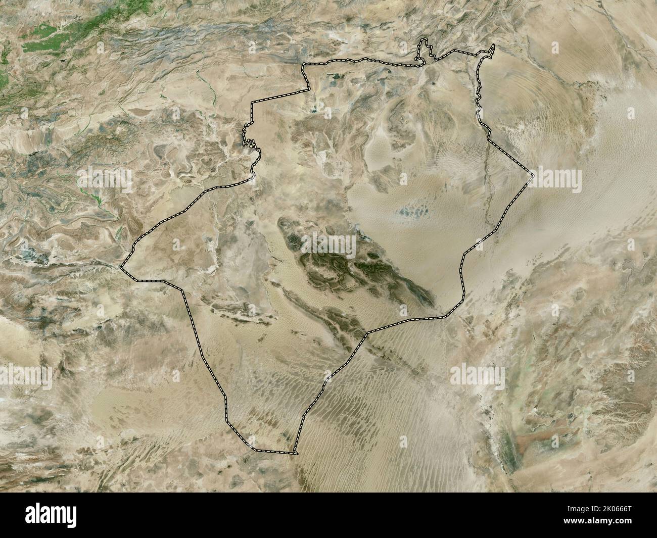
Bechar, province of Algeria. High resolution satellite map
RFID:Image ID:2K0666T
Image details
Contributor:
Yarr65 / Alamy Stock PhotoImage ID:
2K0666TFile size:
71.2 MB (4.2 MB Compressed download)Releases:
Model - no | Property - noDo I need a release?Dimensions:
5760 x 4320 px | 48.8 x 36.6 cm | 19.2 x 14.4 inches | 300dpiDate taken:
6 September 2022Location:
Béchar, Algeria