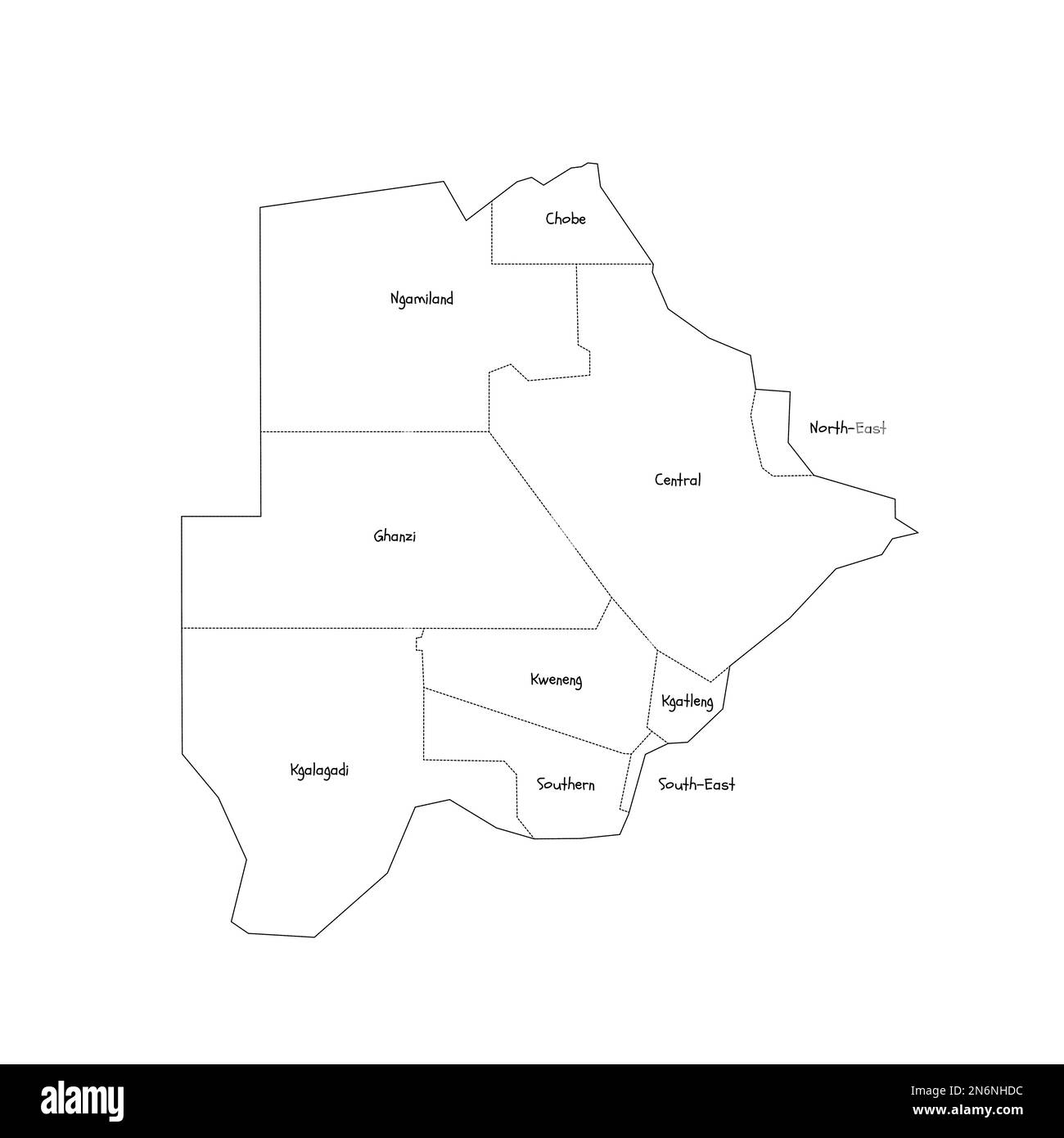
Botswana political map of administrative divisions - rural and urban districts. Handdrawn doodle style map with black outline borders and name labels.
Image details
More information:
Botswana political map of administrative divisions - rural and urban districts. Handdrawn doodle style map with black outline borders and name labels.
Search stock photos by tags
