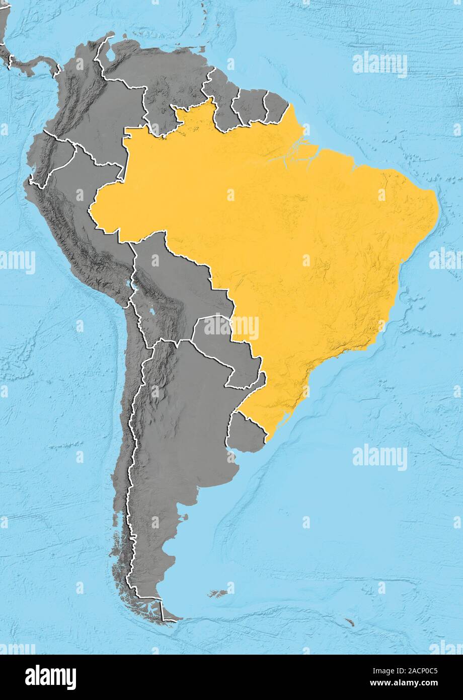
Brazil. North is at top. Relief map of Brazil (yellow) in South America, showing the borders (white lines) of the surrounding countries. Brazil is bor
RMID:Image ID:2ACP0C5
Image details
Contributor:
Science Photo Library / Alamy Stock PhotoImage ID:
2ACP0C5File size:
50.1 MB (1.8 MB Compressed download)Releases:
Model - no | Property - noDo I need a release?Dimensions:
3519 x 4972 px | 29.8 x 42.1 cm | 11.7 x 16.6 inches | 300dpiDate taken:
18 January 2013Photographer:
PLANETOBSERVER/SCIENCE PHOTO LIBRARYMore information:
Brazil. North is at top. Relief map of Brazil (yellow) in South America, showing the borders (white lines) of the surrounding countries. Brazil is bordered on the north by Venezuela, Guyana, Suriname and the French overseas region of French Guiana; on the northwest by Colombia; on the west by Bolivia and Peru; on the southwest by Argentina and Paraguay and on the south by Uruguay. The Atlantic Ocean (blue, right), Pacific Ocean (blue, left), and Caribbean Sea (blue, top left) can also be seen. Image compiled using elevation data, in 2012.