···
Bristol map. Detailed vector map of Bristol city administrative area. Cityscape poster metropolitan aria view. Dark land with white streets, roads and Image details Date created:
19 October 2020
More information:
Bristol map. Detailed vector map of Bristol city administrative area. Cityscape poster metropolitan aria view. Dark land with white streets, roads and avenues. White background.
Search stock photos by tags
Similar stock vectors Detailed map of Bristol city administrative area. Royalty free vector illustration. Cityscape panorama. Decorative graphic tourist map of Bristol terr Stock Vector https://www.alamy.com/licenses-and-pricing/?v=1 https://www.alamy.com/detailed-map-of-bristol-city-administrative-area-royalty-free-vector-illustration-cityscape-panorama-decorative-graphic-tourist-map-of-bristol-terr-image395698996.html RF 2DYNJ30 – Detailed map of Bristol city administrative area. Royalty free vector illustration. Cityscape panorama. Decorative graphic tourist map of Bristol terr Colorful vector map of Bristol, Connecticut, USA. Art Map template for selfprinting wall art in landscape format. Stock Vector https://www.alamy.com/licenses-and-pricing/?v=1 https://www.alamy.com/colorful-vector-map-of-bristol-connecticut-usa-art-map-template-for-selfprinting-wall-art-in-landscape-format-image356373783.html RF 2BKP6B3 – Colorful vector map of Bristol, Connecticut, USA. Art Map template for selfprinting wall art in landscape format. Highly detailed physical map of Wales, in vector format,with all the relief forms,regions and big cities. Stock Vector https://www.alamy.com/licenses-and-pricing/?v=1 https://www.alamy.com/highly-detailed-physical-map-of-wales-in-vector-formatwith-all-the-relief-formsregions-and-big-cities-image543654147.html RF 2PGDGBF – Highly detailed physical map of Wales, in vector format,with all the relief forms,regions and big cities. Leeds Downtown Vector Map Monochrome Artprint, Outline Version for Infographic Background, Black Streets and Waterways Stock Vector https://www.alamy.com/licenses-and-pricing/?v=1 https://www.alamy.com/stock-photo-leeds-downtown-vector-map-monochrome-artprint-outline-version-for-173940042.html RF M2YJ8A – Leeds Downtown Vector Map Monochrome Artprint, Outline Version for Infographic Background, Black Streets and Waterways United Kingdom cities skylines icons. High detailed map of United Kingdom Stock Vector https://www.alamy.com/licenses-and-pricing/?v=1 https://www.alamy.com/united-kingdom-cities-skylines-icons-high-detailed-map-of-united-kingdom-image245980701.html RF T85AW1 – United Kingdom cities skylines icons. High detailed map of United Kingdom Rhode Island silhouette map Stock Vector https://www.alamy.com/licenses-and-pricing/?v=1 https://www.alamy.com/rhode-island-silhouette-map-image266973799.html RF WE9KPF – Rhode Island silhouette map United Kingdom cities skylines icons. High detailed map of United Kingdom Stock Vector https://www.alamy.com/licenses-and-pricing/?v=1 https://www.alamy.com/united-kingdom-cities-skylines-icons-high-detailed-map-of-united-kingdom-image245980685.html RF T85ATD – United Kingdom cities skylines icons. High detailed map of United Kingdom Highly detailed physical map of United Kingdom and Ireland,in vector format,with all the relief forms,states and big cities. Stock Vector https://www.alamy.com/licenses-and-pricing/?v=1 https://www.alamy.com/highly-detailed-physical-map-of-united-kingdom-and-irelandin-vector-formatwith-all-the-relief-formsstates-and-big-cities-image469266909.html RF 2J7CXMD – Highly detailed physical map of United Kingdom and Ireland,in vector format,with all the relief forms,states and big cities. Rhode Island outline map isolated on white background Stock Vector https://www.alamy.com/licenses-and-pricing/?v=1 https://www.alamy.com/rhode-island-outline-map-isolated-on-white-background-image559193600.html RF 2RDND40 – Rhode Island outline map isolated on white background Highly detailed vector map of United Kingdom with administrative regions, main cities and roads. Stock Vector https://www.alamy.com/licenses-and-pricing/?v=1 https://www.alamy.com/highly-detailed-vector-map-of-united-kingdom-with-administrative-regions-main-cities-and-roads-image469266911.html RF 2J7CXMF – Highly detailed vector map of United Kingdom with administrative regions, main cities and roads. United Kingdom country detailed editable map with regions cities and towns, roads and railways, geographic sites. Vector EPS-10 file Stock Vector https://www.alamy.com/licenses-and-pricing/?v=1 https://www.alamy.com/united-kingdom-country-detailed-editable-map-with-regions-cities-and-towns-roads-and-railways-geographic-sites-vector-eps-10-file-image398917684.html RF 2E507G4 – United Kingdom country detailed editable map with regions cities and towns, roads and railways, geographic sites. Vector EPS-10 file Rhode Island county map Stock Vector https://www.alamy.com/licenses-and-pricing/?v=1 https://www.alamy.com/rhode-island-county-map-image359638909.html RF 2BW2Y2N – Rhode Island county map High Quality map of Bristol is a county of England, with borders of the districts Stock Vector https://www.alamy.com/licenses-and-pricing/?v=1 https://www.alamy.com/high-quality-map-of-bristol-is-a-county-of-england-with-borders-of-the-districts-image246749700.html RF T9CBN8 – High Quality map of Bristol is a county of England, with borders of the districts 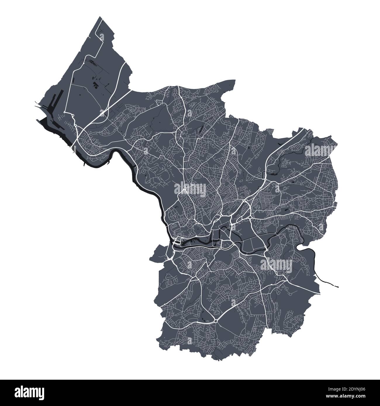