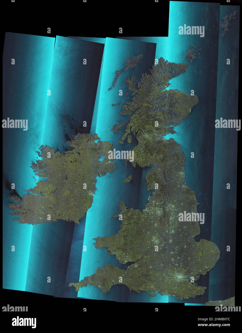
British Isles, satellite image
RMID:Image ID:2HMBXTC
Image details
Contributor:
Science Photo Library / Alamy Stock PhotoImage ID:
2HMBXTCFile size:
111.1 MB (6.1 MB Compressed download)Releases:
Model - no | Property - noDo I need a release?Dimensions:
5500 x 7063 px | 46.6 x 59.8 cm | 18.3 x 23.5 inches | 300dpiDate taken:
20 January 2022Photographer:
AIRBUS DEFENCE AND SPACE / SCIENCE PHOTO LIBRARYMore information:
British Isles, satellite image. Major cities and populated areas in the United Kingdom and Ireland appear bright. Wind farms can be seen in the North Sea (right). This is a mosaic of seven images obtained in December 2021 by the NovaSAR-1 satellite. Synthetic aperture radar (SAR) is able to see through cloud cover and discriminate very well between different types of land cover.