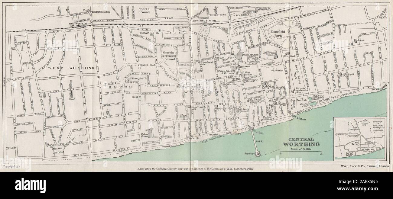
CENTRAL WORTHING vintage town/city plan. Sussex. WARD LOCK 1950 old map

RFID:Image ID:2AEX5N5
Image details
Contributor:
Antiqua Print Gallery / Alamy Stock PhotoImage ID:
2AEX5N5File size:
20.3 MB (1.2 MB Compressed download)Releases:
Model - no | Property - noDo I need a release?Dimensions:
4024 x 1762 px | 34.1 x 14.9 cm | 13.4 x 5.9 inches | 300dpiDate taken:
1950Location:
SussexMore information:
This image could have imperfections as it’s either historical or reportage.
Central Worthing; Inset map of Borough of Worthing. Artist/engraver/cartographer: Ward Lock & Co. Provenance: "Guide to Bognor Regis Chichester, Selsey, Goodwood, Hayling island, Midhurst, Amberley, Petworth and the coast to Brighton"; published by Ward, Lock & Co., Limited, London: 1st Edition [Red Guide - Bognor Regis & environs]. Type: Vintage colour tourist map.