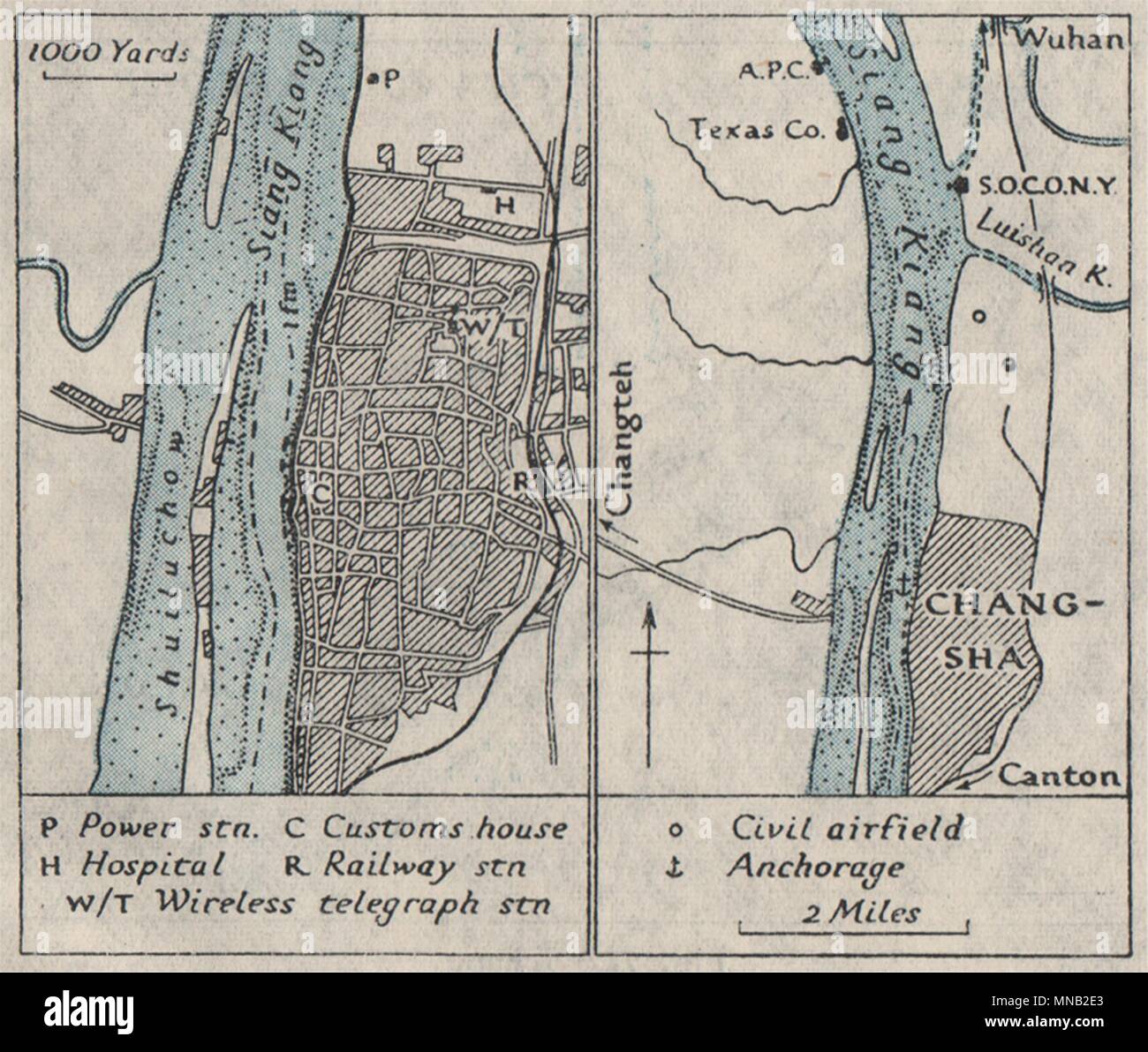
CHANGSHA. China. WW2 ROYAL NAVY INTELLIGENCE MAP 1945 old vintage chart
RFID:Image ID:MNB2E3
Image details
Contributor:
Antiqua Print Gallery / Alamy Stock PhotoImage ID:
MNB2E3File size:
11.3 MB (553.3 KB Compressed download)Releases:
Model - no | Property - noDo I need a release?Dimensions:
2154 x 1826 px | 36.5 x 30.9 cm | 14.4 x 12.2 inches | 150dpiDate taken:
1945Location:
ChinaMore information:
This image could have imperfections as it’s either historical or reportage.
Artist/engraver/cartographer: Royal Naval Intelligence Division. Provenance: "China Proper - Economic Geography, Ports and Communications"; published by the Royal Navy Intelligence Division [China proper]. Type: Vintage Second World War naval intelligence colour map.