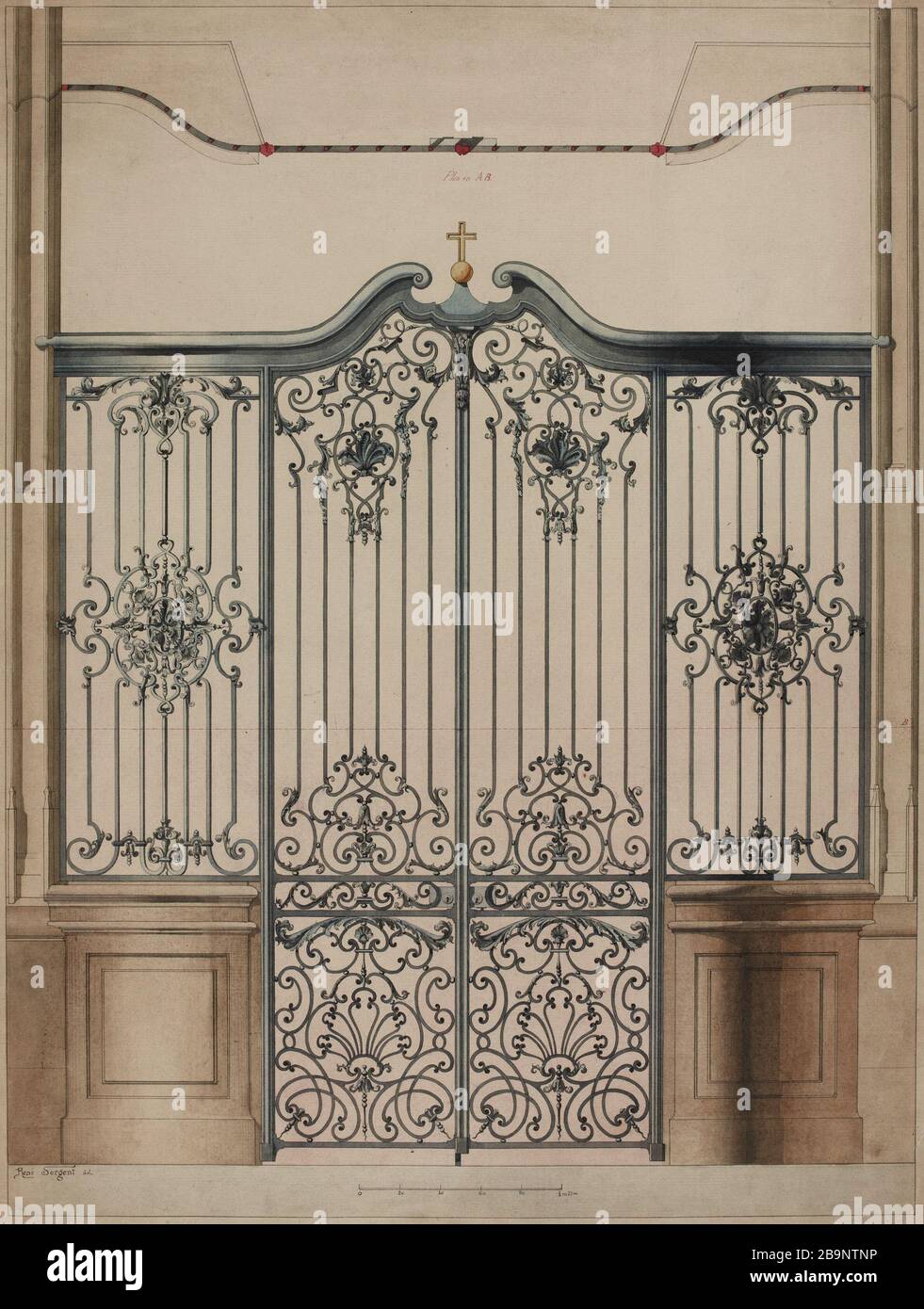
Church of Saint-Gervais: map and elevation of a grid
RMID:Image ID:2B9NTNP
Image details
Contributor:
PWB Images / Alamy Stock PhotoImage ID:
2B9NTNPFile size:
21.5 MB (1.2 MB Compressed download)Releases:
Model - no | Property - noDo I need a release?Dimensions:
2380 x 3151 px | 20.2 x 26.7 cm | 7.9 x 10.5 inches | 300dpiDate taken:
30 March 2016More information:
This image is a public domain image, which means either that copyright has expired in the image or the copyright holder has waived their copyright. Alamy charges you a fee for access to the high resolution copy of the image.
This image could have imperfections as it’s either historical or reportage.