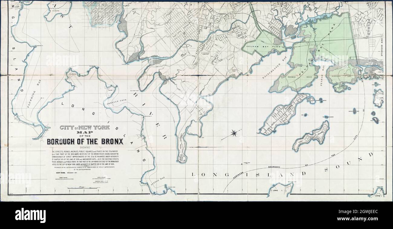
City of New York map of the Borough of The Bronx 1897
Image details
Contributor:
Bill Waterson / Alamy Stock PhotoImage ID:
2GWJEECFile size:
277 MB (13.4 MB Compressed download)Releases:
Model - no | Property - noDo I need a release?Dimensions:
13726 x 7054 px | 116.2 x 59.7 cm | 45.8 x 23.5 inches | 300dpiDate taken:
13 March 2020Location:
New York, USAMore information:
This image is a public domain image, which means either that copyright has expired in the image or the copyright holder has waived their copyright. Alamy charges you a fee for access to the high resolution copy of the image.
This image could have imperfections as it’s either historical or reportage.
City of New York, map of the Borough of the Bronx, showing the streets, roads, avenues, public squares, and places in the 23rd ward and that part of the 24th ward westerly of the Bronx River established by the Commissioner of Street Improvements . . .also the existing streets, roads, avenues, and public parks in that part of the 24th ward easterly of the Bronx River added to the City of New York.