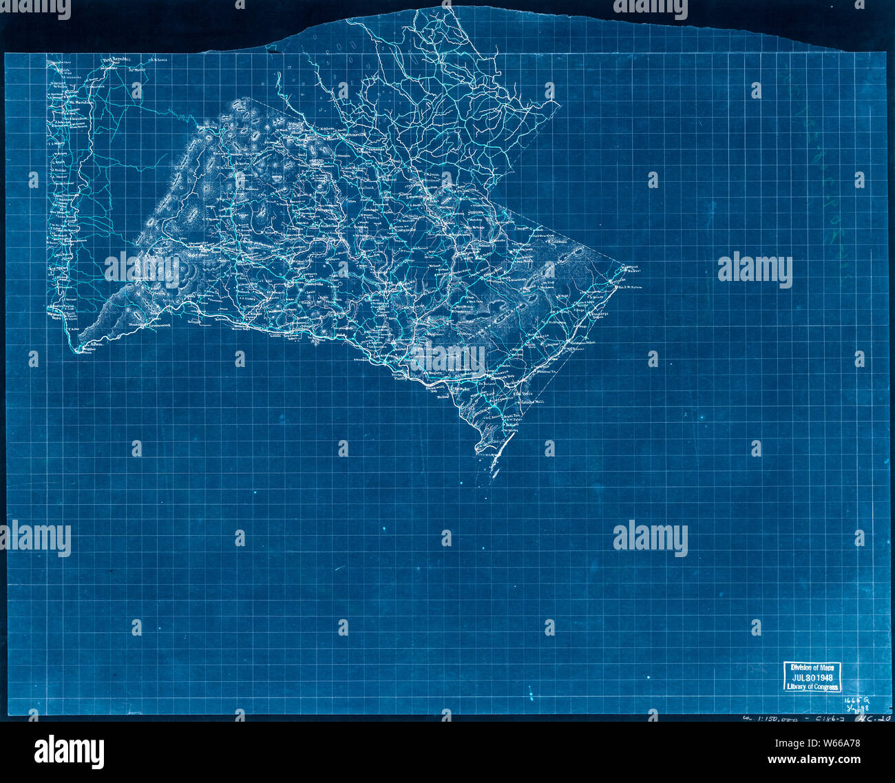
Civil War Maps 1968 Map of Albemarle County north of the Virginia Central Railroad and a portion of Augusta County along the south fork of the Shenandoah River Inverted Rebuild and Repair
RMID:Image ID:W66A78
Image details
Contributor:
Wetdryvac / Alamy Stock PhotoImage ID:
W66A78File size:
103.5 MB (5.3 MB Compressed download)Releases:
Model - no | Property - noDo I need a release?Dimensions:
6701 x 5401 px | 56.7 x 45.7 cm | 22.3 x 18 inches | 300dpiDate taken:
18 November 2002More information:
This image could have imperfections as it’s either historical or reportage.