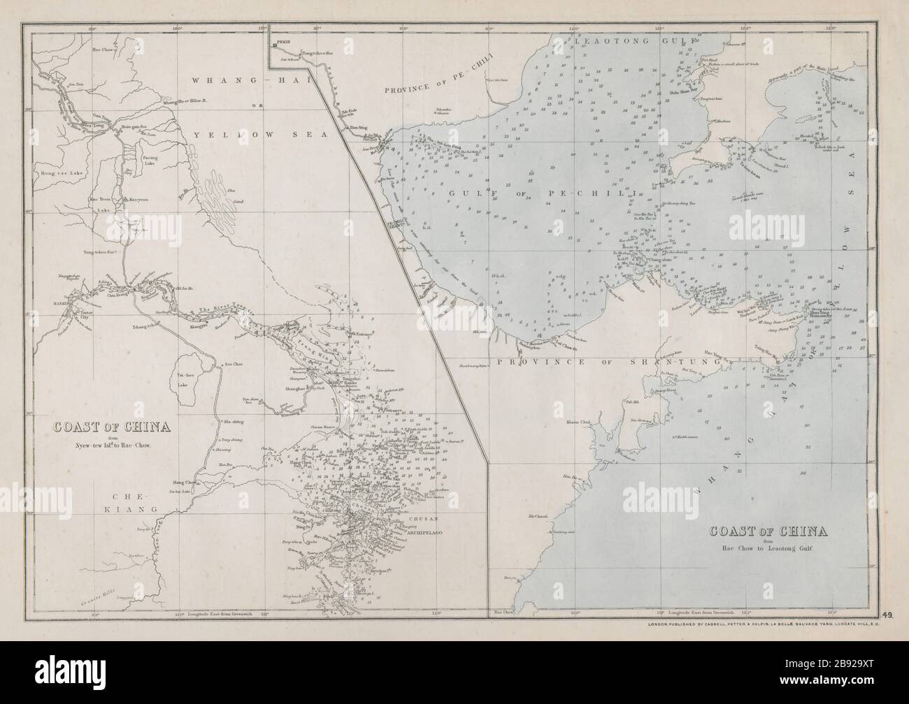
COAST OF CHINA.Ningbo-Korea. Shanghai Tianjin Nanjing Hangzhou. WELLER 1868 map
RFID:Image ID:2B929XT
Image details
Contributor:
Antiqua Print Gallery / Alamy Stock PhotoImage ID:
2B929XTFile size:
104.7 MB (2.4 MB Compressed download)Releases:
Model - no | Property - noDo I need a release?Dimensions:
7200 x 5085 px | 61 x 43.1 cm | 24 x 17 inches | 300dpiDate taken:
1868Location:
ChinaMore information:
This image could have imperfections as it’s either historical or reportage.
Coast of China from Nyew-Tew Island. to Hae-Chow; Coast of China from Hae-Chow to Leaotong Gulf. Artist/engraver/cartographer: Engraved by Edwd. Weller. Provenance: "Cassell's Complete Atlas" (a.k.a. "The Weekly Dispatch Atlas"), Published by Cassell, Petter and Galpin, London [Cassell's Weekly Dispatch Atlas]. Type: Antique map with original outline colour. The cities of Nanking/nanjing, Peking/Beijing, Shanghai, Ningbo, Suzhou, Changzhou, Tianjin & Hangzhou are marked