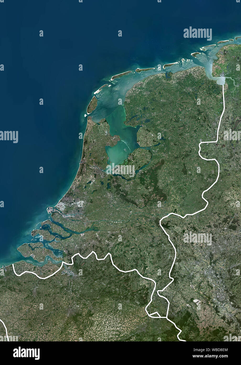
Color satellite image of the Netherlands (with administrative boundaries). This image was compiled from data acquired by Sentinel-2 & Landsat 8 satellites.
RMID:Image ID:WBD8EM
Image details
Contributor:
Universal Images Group North America LLC / Alamy Stock PhotoImage ID:
WBD8EMFile size:
49.8 MB (3.5 MB Compressed download)Releases:
Model - no | Property - noDo I need a release?Dimensions:
3508 x 4961 px | 29.7 x 42 cm | 11.7 x 16.5 inches | 300dpiDate taken:
2016Location:
NetherlandsPhotographer:
Planet Observer