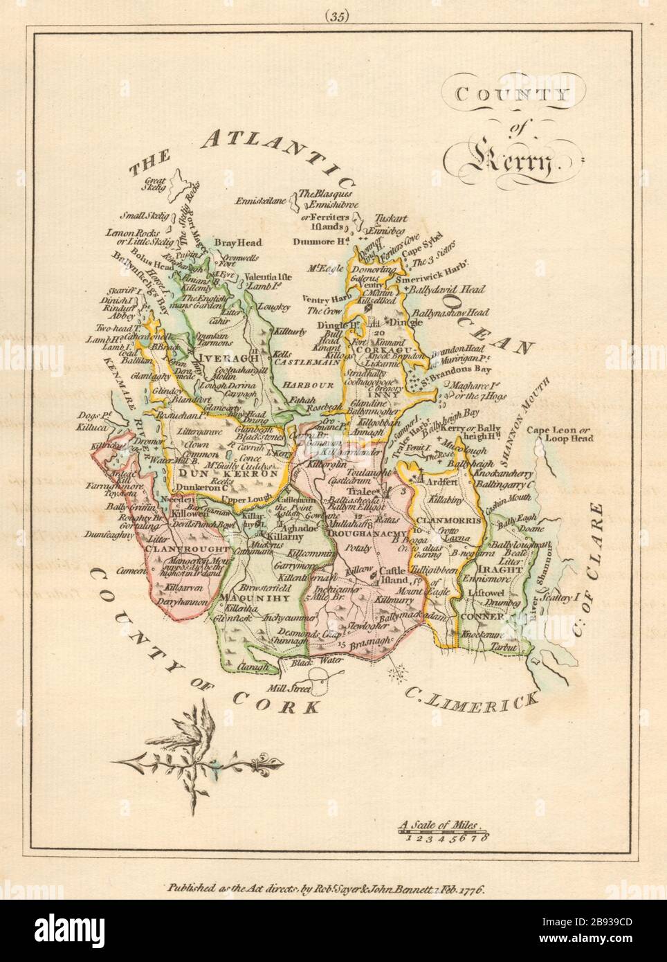
County of Kerry, Munster. Antique copperplate map by Scalé / Sayer 1776
Image details
Contributor:
Antiqua Print Gallery / Alamy Stock PhotoImage ID:
2B939CDFile size:
50.7 MB (2.2 MB Compressed download)Releases:
Model - no | Property - noDo I need a release?Dimensions:
3628 x 4888 px | 30.7 x 41.4 cm | 12.1 x 16.3 inches | 300dpiDate taken:
1776Location:
IrelandMore information:
This image could have imperfections as it’s either historical or reportage.
County of Kerry. Artist/engraver/cartographer: Bernard Scalé. Provenance: "An Hibernian Atlas; or general description of the Kingdom of Ireland", by Bernard Scalé, Land surveyor, and beautifully engraved on 78 copper plates by Messrs. Ellis and Palmer. Published as the Act directs, 1 Feb 1776, London. Printed for Robert Sayer and John Bennet, map and printsellers, No 53, Fleet Street, and may be had of the author, at his house in Dublin, and at Mangroves, near Brentwood, Essex. Type: Antique copperplate map with original hand colour. The map is orientated towards the west