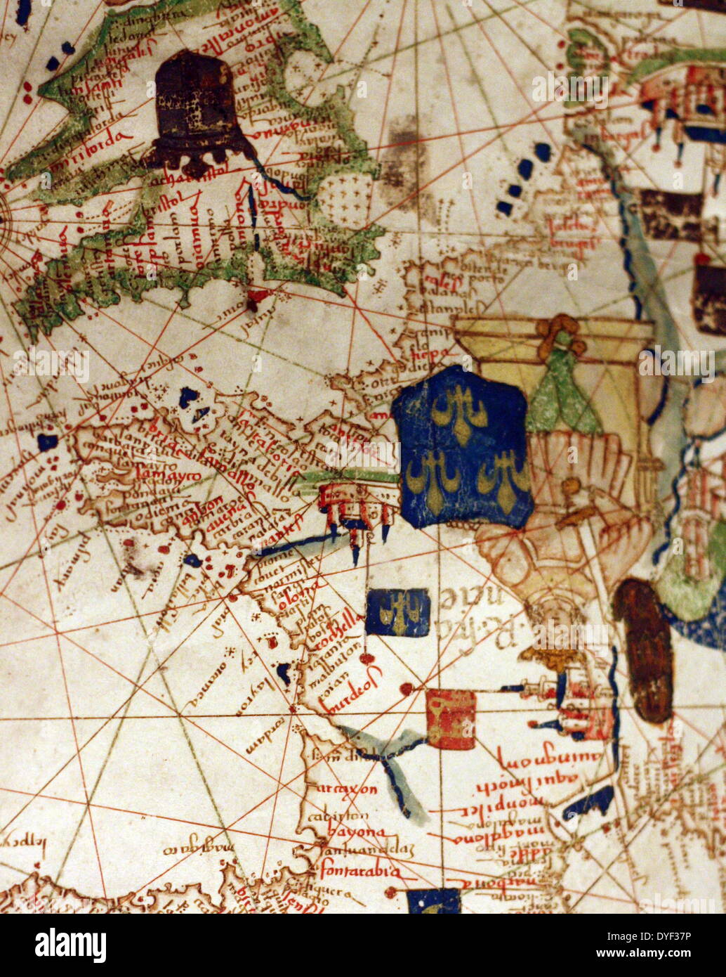
Detail from an illustrated navigational map of Europe, from 1528. Made by Jacopo Russo. In Messina, Sicily.

RMID:Image ID:DYF37P
Image details
Contributor:
World History Archive / Alamy Stock PhotoImage ID:
DYF37PFile size:
50 MB (2.4 MB Compressed download)Releases:
Model - no | Property - noDo I need a release?Dimensions:
3729 x 4687 px | 31.6 x 39.7 cm | 12.4 x 15.6 inches | 300dpiDate taken:
19 October 1904Photographer:
World History ArchiveMore information:
This image could have imperfections as it’s either historical or reportage.
Detail from an illustrated navigational map of Europe, from 1528. Made by Jacopo Russo. In Messina, Sicily.