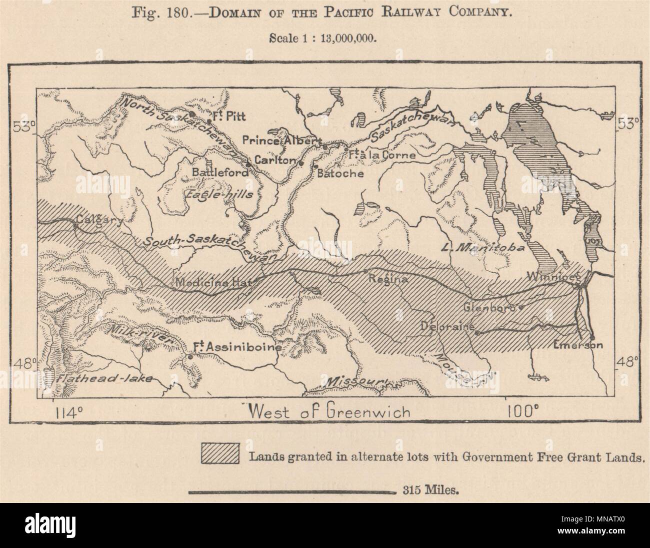
Domain of the Pacific Railway Company. Canada 1885 old antique map plan chart
RFID:Image ID:MNATX0
Image details
Contributor:
Antiqua Print Gallery / Alamy Stock PhotoImage ID:
MNATX0File size:
17 MB (711 KB Compressed download)Releases:
Model - no | Property - noDo I need a release?Dimensions:
2772 x 2144 px | 23.5 x 18.2 cm | 9.2 x 7.1 inches | 300dpiDate taken:
1885Location:
CanadaMore information:
This image could have imperfections as it’s either historical or reportage.
Artist/engraver/cartographer: Engraved for Élisée Reclus. Provenance: "The Universal Geography"; by Élisée Reclus, Edited by A.H. Keane, Published by J.S. Virtue & Co., London /Canada/ [Universal Geography]. Type: Antique wood-engraved map; Scale 1:13, 000, 000.