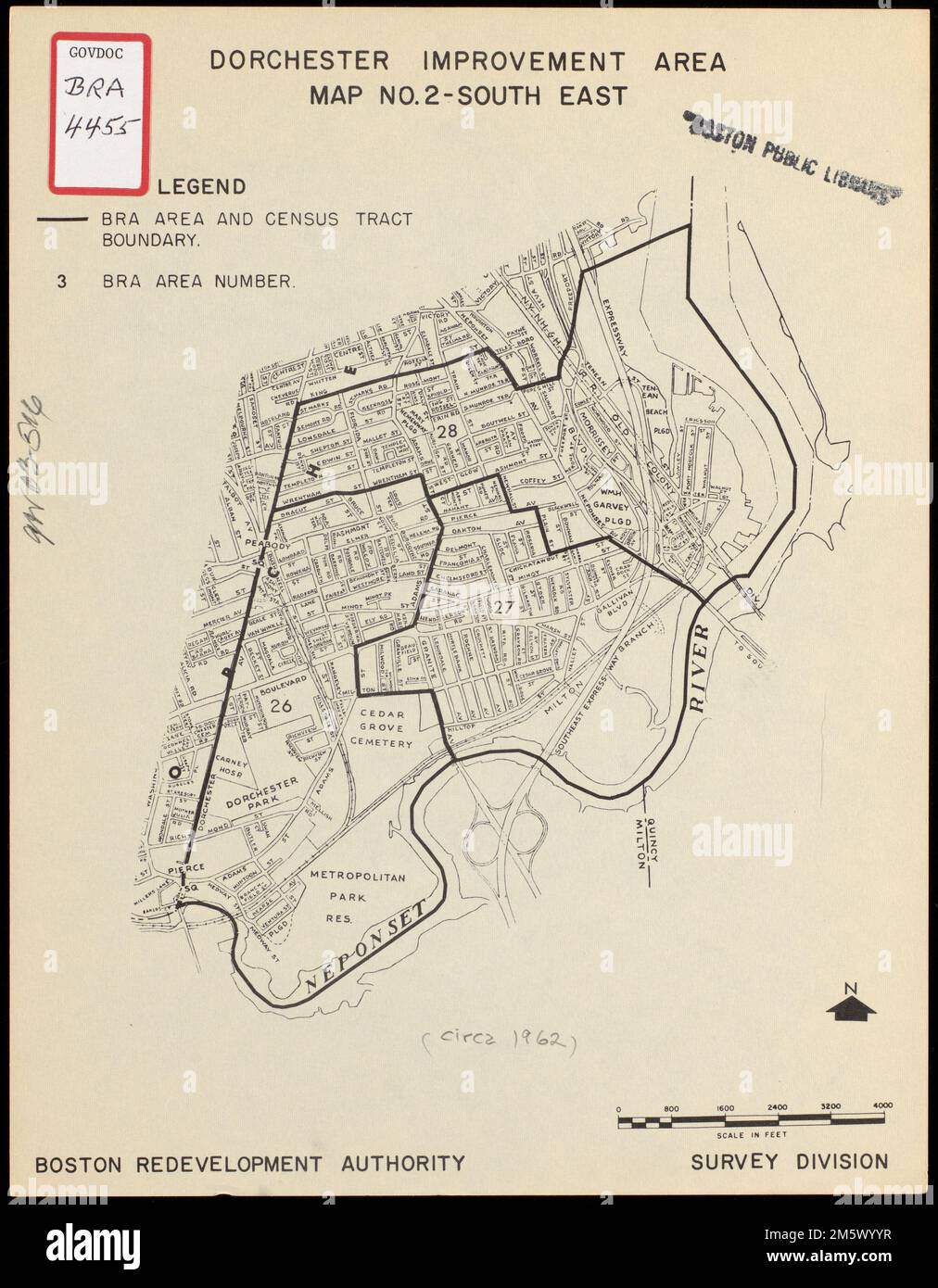
Dorchester improvement area, map no. 2 - south east. Manuscript on map: (circa 1962).. Street map of part of Boston's Dorchester neighborhood. Shows census tract boundaries, names of streets and prominent features... , Massachusetts , Suffolk ,county , Boston , Dorchester
RMID:Image ID:2M5WYYR
Image details
Contributor:
LM/BT / Alamy Stock PhotoImage ID:
2M5WYYRFile size:
44.3 MB (2.1 MB Compressed download)Releases:
Model - no | Property - noDo I need a release?Dimensions:
3474 x 4462 px | 29.4 x 37.8 cm | 11.6 x 14.9 inches | 300dpiMore information:
This image is a public domain image, which means either that copyright has expired in the image or the copyright holder has waived their copyright. Alamy charges you a fee for access to the high resolution copy of the image.
This image could have imperfections as it’s either historical or reportage.