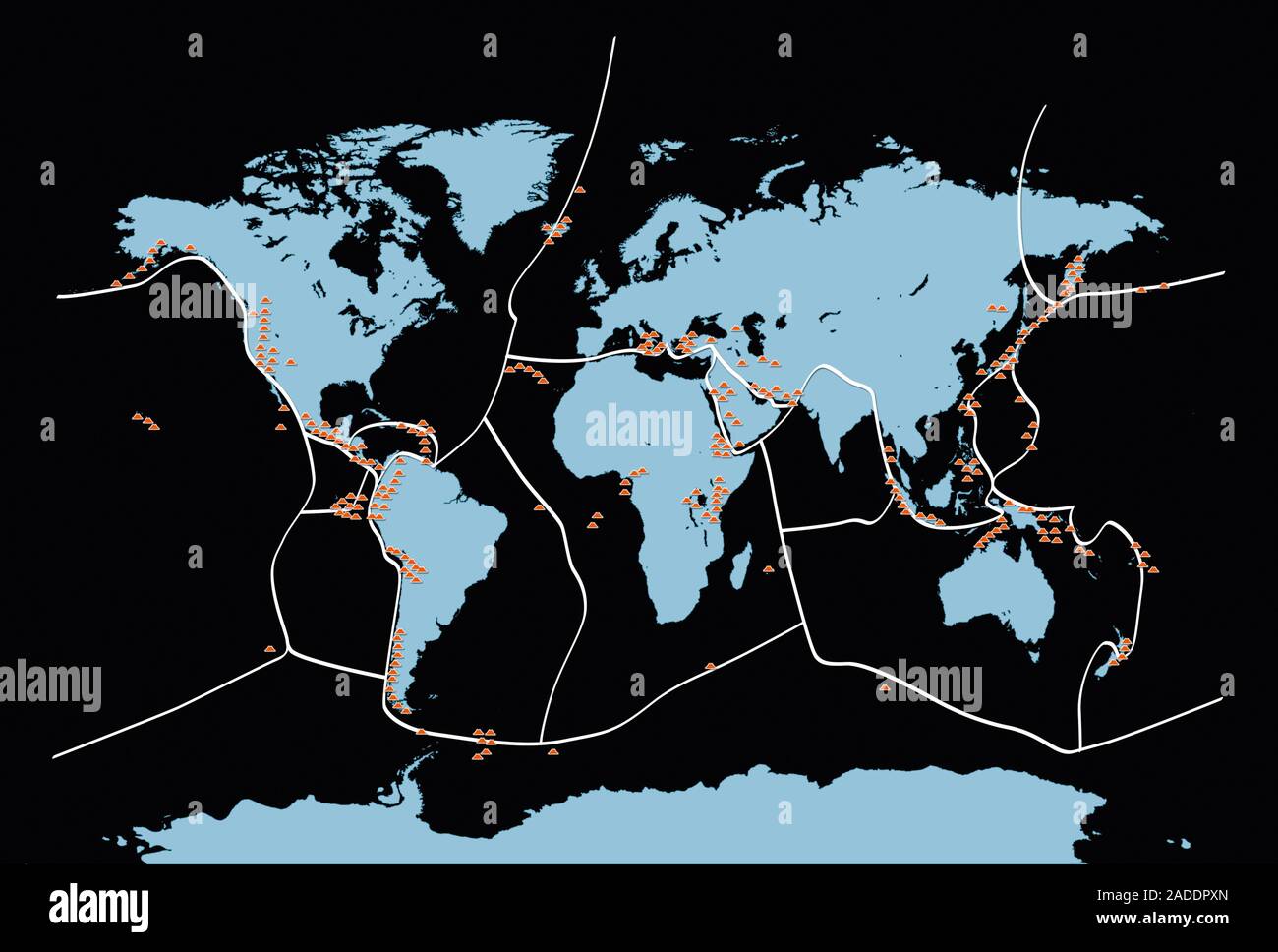
Earth's volcanoes and fault lines. Map of the Earth showing the location of volcanoes (orange) and the boundaries (white lines) of the tectonic plates

RMID:Image ID:2ADDPXN
Image details
Contributor:
Science Photo Library / Alamy Stock PhotoImage ID:
2ADDPXNFile size:
50 MB (666.1 KB Compressed download)Releases:
Model - no | Property - noDo I need a release?Dimensions:
5085 x 3437 px | 43.1 x 29.1 cm | 17 x 11.5 inches | 300dpiDate taken:
30 November 2018Photographer:
MIKKEL JUUL JENSEN/SCIENCE PHOTO LIBRARYMore information:
Earth's volcanoes and fault lines. Map of the Earth showing the location of volcanoes (orange) and the boundaries (white lines) of the tectonic plates that make up the Earth's crust. These tectonic plates move over the molten rock below them, colliding with and moving past, under and over each other. Immense pressures can build up, which are released during an earthquake. Where a plate is being destroyed under another one (seen around the Pacific Ocean), volcanoes form as the molten rock rises to the surface. Volcanoes can also form at isolated hotspots, such as Hawaii (centre left).