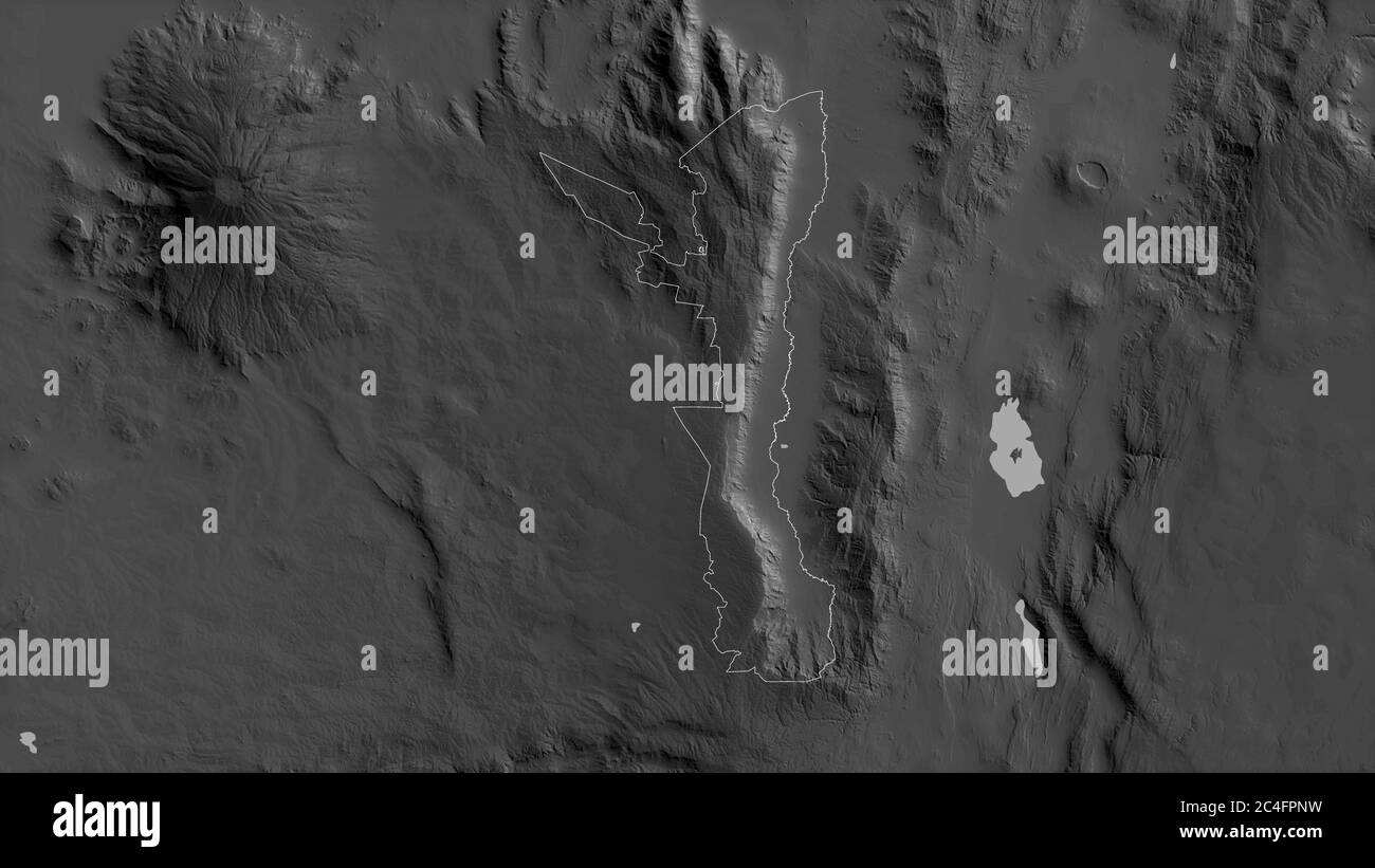
Elgeyo-Marakwet, county of Kenya. Grayscaled map with lakes and rivers. Shape outlined against its country area. 3D rendering
RFID:Image ID:2C4FPNW
Image details
Contributor:
Yarr65 / Alamy Stock PhotoImage ID:
2C4FPNWFile size:
53.4 MB (1.3 MB Compressed download)Releases:
Model - no | Property - noDo I need a release?Dimensions:
5760 x 3240 px | 48.8 x 27.4 cm | 19.2 x 10.8 inches | 300dpiDate taken:
9 April 2020