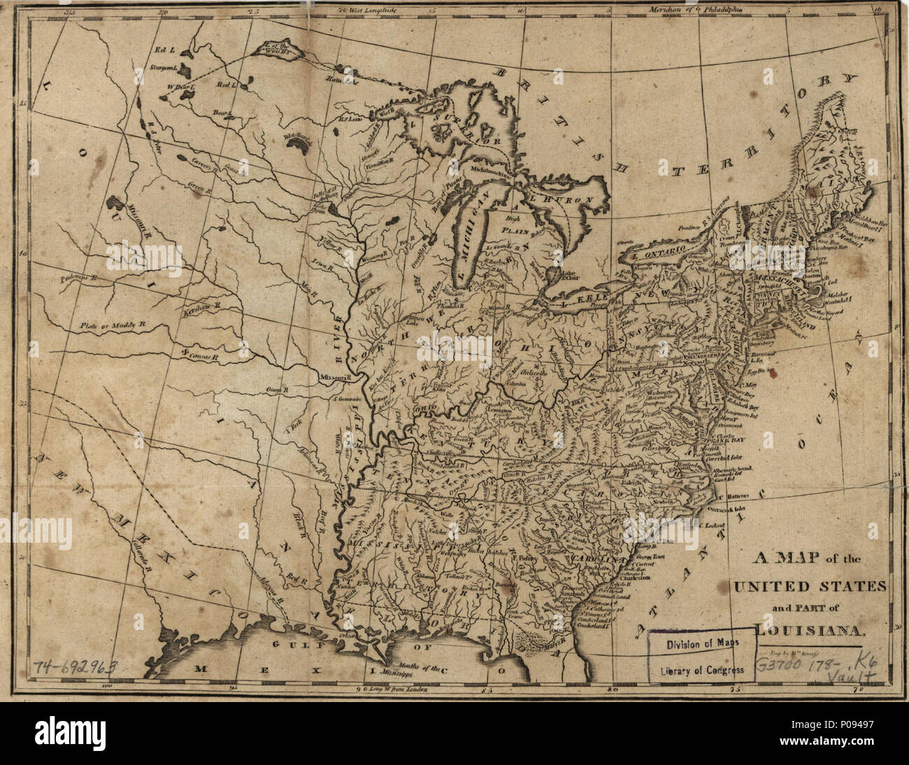
. English: Scale ca. 1:9,500,000. 'Meridian of Philadelphia.' Relief shown pictorially. LC Maps of North America, 1750-1789, 738 Available also through the Library of Congress Web site as a raster image. Vault AACR2: 651 . A map of the United States and part of Louisiana.. 1780. Kneass, William 129 A map of the United States and part of Louisiana. LOC 74692963

RMID:Image ID:P09497
Image details
Contributor:
The Picture Art Collection / Alamy Stock PhotoImage ID:
P09497File size:
14.3 MB (982 KB Compressed download)Releases:
Model - no | Property - noDo I need a release?Dimensions:
2544 x 1965 px | 21.5 x 16.6 cm | 8.5 x 6.6 inches | 300dpiMore information:
This image is a public domain image, which means either that copyright has expired in the image or the copyright holder has waived their copyright. Alamy charges you a fee for access to the high resolution copy of the image.
This image could have imperfections as it’s either historical or reportage.