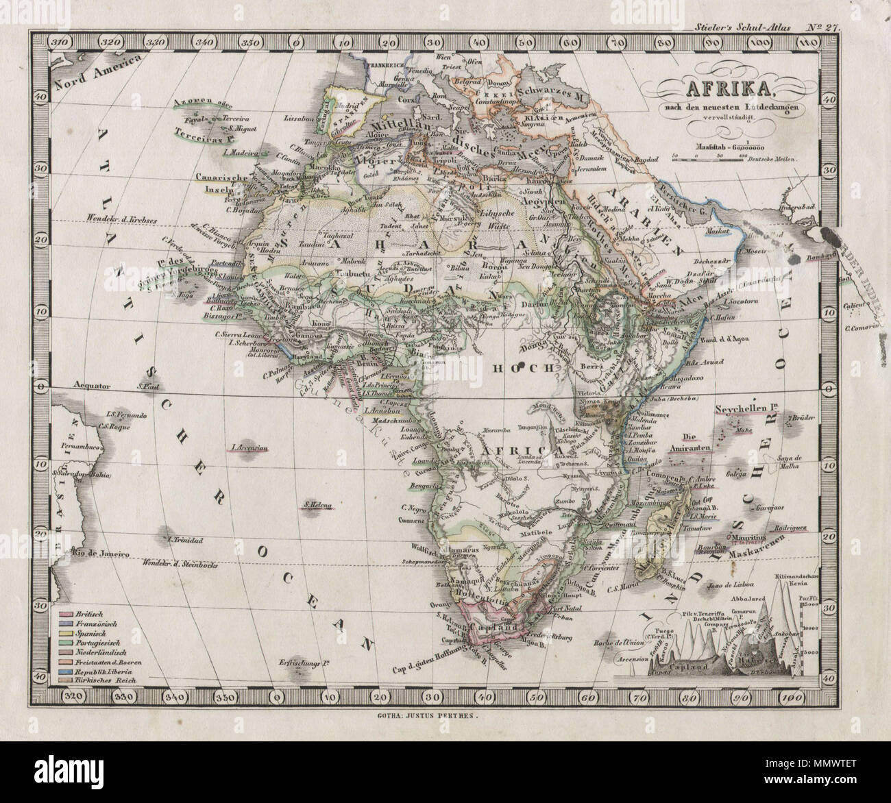
. English: This fascinating 1862 map by Justus Perthes and Stieler depicts the, at the time, largely unexplored continent of Africa. Unlike other cartographic publishers of the period, the Justus Perthes firm, did not transition to lithographic printing techniques. Instead, all of his maps are copper plate engravings and hence offer a level of character and depth of detail that was impossible to find in lithography or wax-process engraving. Issued in the 1862 edition of Stieler’s Schul-Atlas. Afrika.. 1862. 1862 Stieler Map of Africa - Geographicus - Afrika-perthes-1862

RMID:Image ID:MMWTET
Image details
Contributor:
The Picture Art Collection / Alamy Stock PhotoImage ID:
MMWTETFile size:
14.3 MB (973 KB Compressed download)Releases:
Model - no | Property - noDo I need a release?Dimensions:
2451 x 2040 px | 41.5 x 34.5 cm | 16.3 x 13.6 inches | 150dpiMore information:
This image is a public domain image, which means either that copyright has expired in the image or the copyright holder has waived their copyright. Alamy charges you a fee for access to the high resolution copy of the image.
This image could have imperfections as it’s either historical or reportage.