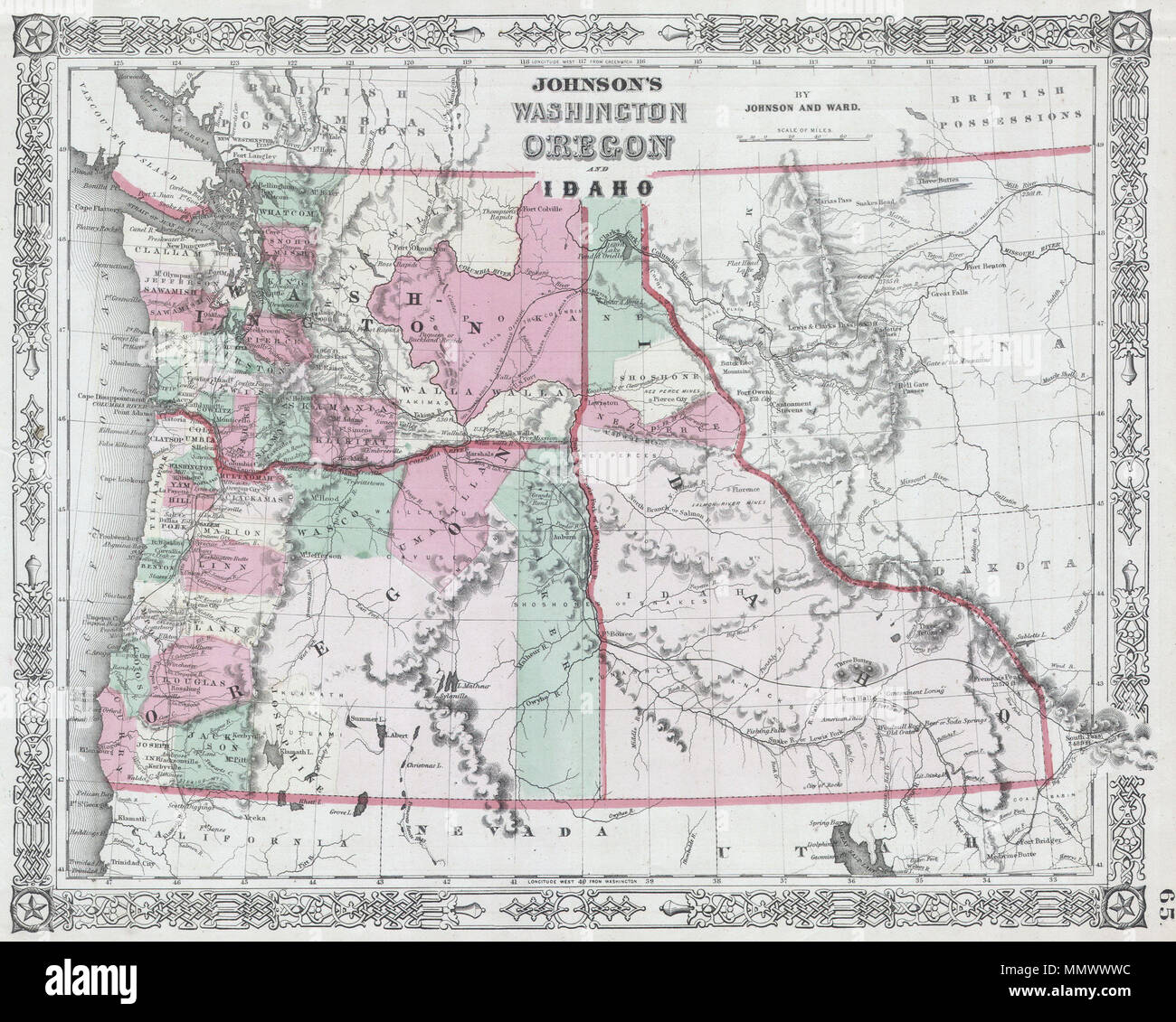
. English: This is a magnificent 1864 hand colored map depicts Washington state, Oregon and Idaho. This is a rare variant upon the same 1864 Johnson’s map issue earlier in 1864, due to the defined Idaho-Montana border. This suggests that this map was issued late in 1864 following the formation of Montana. Johnson’s Washington Oregon and Idaho.. 1864. 1864 Johnson Map of Washington, Oregon and Idaho - Geographicus - WAOR2-j-64

RMID:Image ID:MMWWWC
Image details
Contributor:
The Picture Art Collection / Alamy Stock PhotoImage ID:
MMWWWCFile size:
14.3 MB (1.3 MB Compressed download)Releases:
Model - no | Property - noDo I need a release?Dimensions:
2497 x 2001 px | 21.1 x 16.9 cm | 8.3 x 6.7 inches | 300dpiMore information:
This image is a public domain image, which means either that copyright has expired in the image or the copyright holder has waived their copyright. Alamy charges you a fee for access to the high resolution copy of the image.
This image could have imperfections as it’s either historical or reportage.