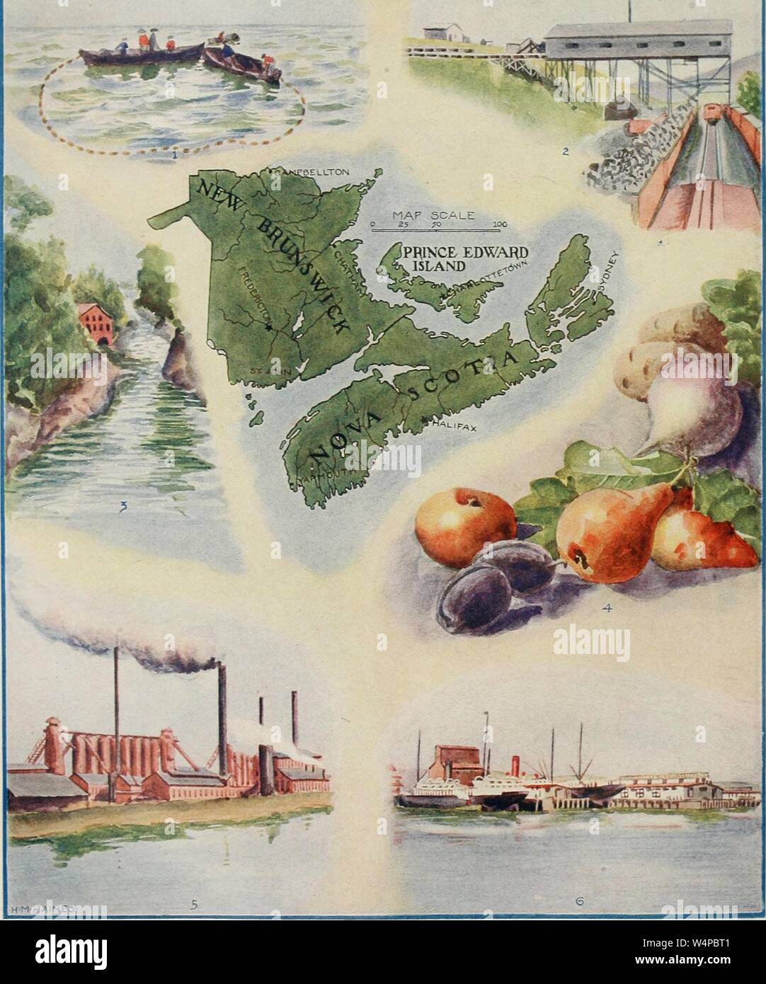
Engraved map of the New Brunswick, Nova Scotia, and Princ Edward Island; fishing scene, coal mining, falls and lumber mill, fruits and vegetables, iron and steel works, and Halifax international railway, from the book 'The American educator' by Ellsworth D. Foster and James Laughlin Hughes, 1919. Courtesy Internet Archive. ()
RMID:Image ID:W4PBT1
Image details
Contributor:
Gado Images / Alamy Stock PhotoImage ID:
W4PBT1File size:
72.1 MB (1.8 MB Compressed download)Releases:
Model - no | Property - noDo I need a release?Dimensions:
4580 x 5500 px | 38.8 x 46.6 cm | 15.3 x 18.3 inches | 300dpiDate taken:
1 January 1919Location:
United StatesPhotographer:
Smith Collection/GadoMore information:
This image could have imperfections as it’s either historical or reportage.
Engraved map of the New Brunswick, Nova Scotia, and Princ Edward Island; fishing scene, coal mining, falls and lumber mill, fruits and vegetables, iron and steel works, and Halifax international railway, from the book 'The American educator' by Ellsworth D. Foster and James Laughlin Hughes, 1919. Courtesy Internet Archive. ()