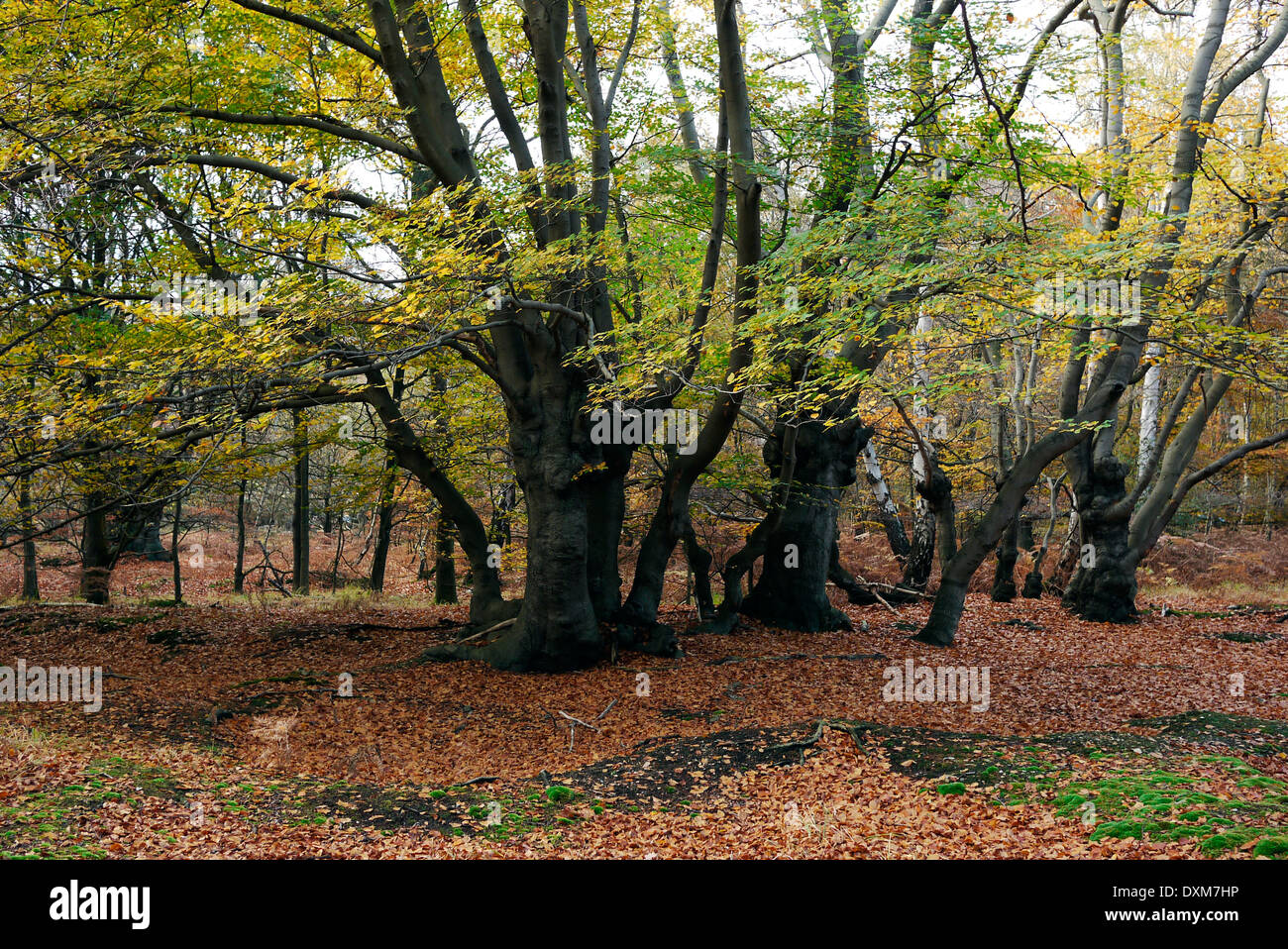
Epping forest, Epping, Essex, England, UK

Image details
Contributor:
martin pittaway / Alamy Stock PhotoImage ID:
DXM7HPFile size:
30.6 MB (3.3 MB Compressed download)Releases:
Model - no | Property - noDo I need a release?Dimensions:
4000 x 2672 px | 33.9 x 22.6 cm | 13.3 x 8.9 inches | 300dpiDate taken:
2010Location:
Epping forest, Epping, Essex, England, UKMore information:
Epping Forest is an area of ancient woodland in south-east England, straddling the border between north-east Greater London and Essex. It is a former royal forest, and is managed by the City of London Corporation. It covers 2, 476 hectares[1][2] and contains areas of woodland, grassland, heath, rivers, bogs and ponds and is a Site of Special Scientific Interest.[3][4] Stretching between Forest Gate in the south and Epping in the north, Epping Forest is approximately 19 kilometres (12 mi) long in the north-south direction, but no more than 4 kilometres (2.5 mi) from east to west at its widest point, and in most places considerably narrower. The forest lies on a ridge between the valleys of the rivers Lea and Roding; its elevation and thin gravelly soil (the result of glaciation) historically made it unsuitable for agriculture.[5] It gives its name to the Epping Forest local