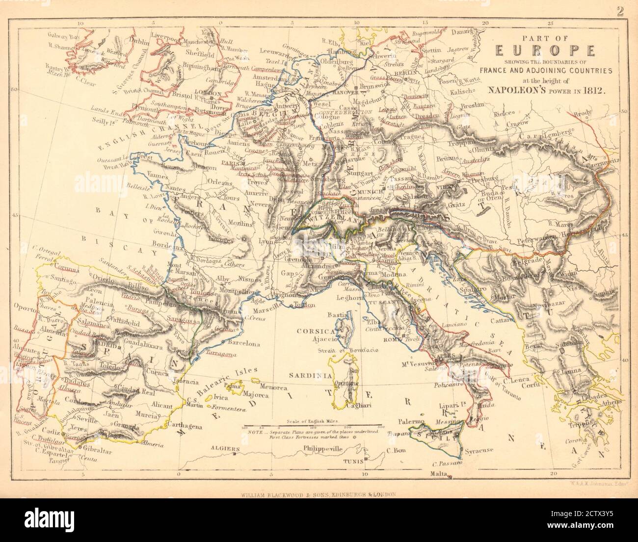
EUROPE in 1812 at the height of Napoleon's Power. France borders 1848 old map

RFID:Image ID:2CTX3Y5
Image details
Contributor:
Antiqua Print Gallery / Alamy Stock PhotoImage ID:
2CTX3Y5File size:
17.1 MB (984.4 KB Compressed download)Releases:
Model - no | Property - noDo I need a release?Dimensions:
2770 x 2164 px | 23.5 x 18.3 cm | 9.2 x 7.2 inches | 300dpiDate taken:
1848Location:
EuropeMore information:
This image could have imperfections as it’s either historical or reportage.
Part of Europe showing the boundaries of France and adjoining countries at the height of Napoleon's power in 1812. Artist/engraver/cartographer: Johnston, W & AK. Provenance: "Atlas Alison's history of Europe" by Alexander Keith Johnston, Published by William Blackwood and Sons, Edinburgh & London [Alison's History of Europe]. Type: Antique hand-coloured engraved map.