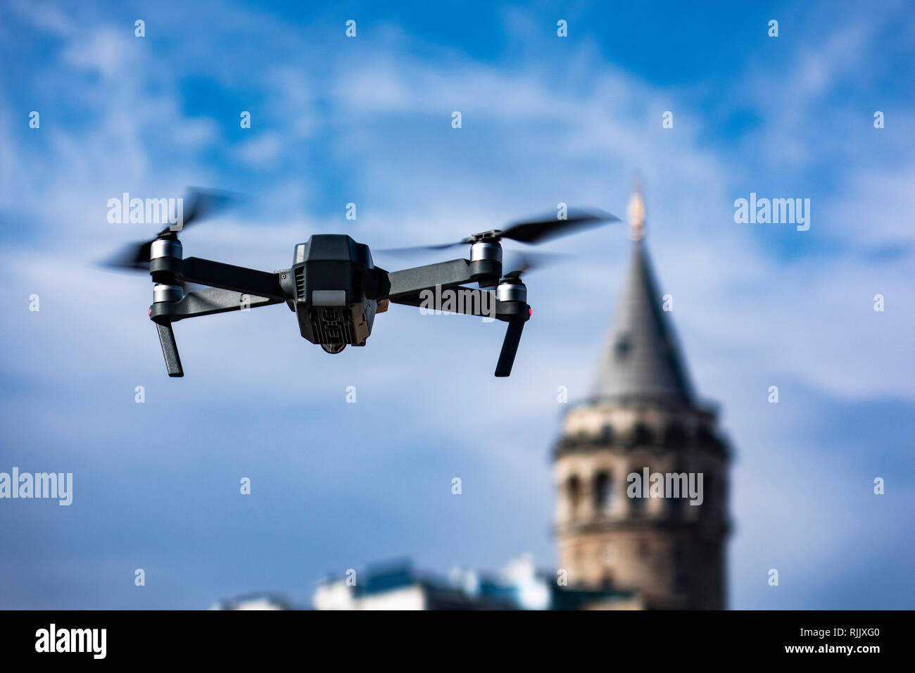
flying drone over galata tower. Using unmanned aerial vehicle (UAV) for land and building site survey.
RFID:Image ID:RJJXG0
Image details
Contributor:
batuhan toker / Alamy Stock PhotoImage ID:
RJJXG0File size:
57.1 MB (2.2 MB Compressed download)Releases:
Model - no | Property - noDo I need a release?Dimensions:
5472 x 3648 px | 46.3 x 30.9 cm | 18.2 x 12.2 inches | 300dpiDate taken:
30 January 2019