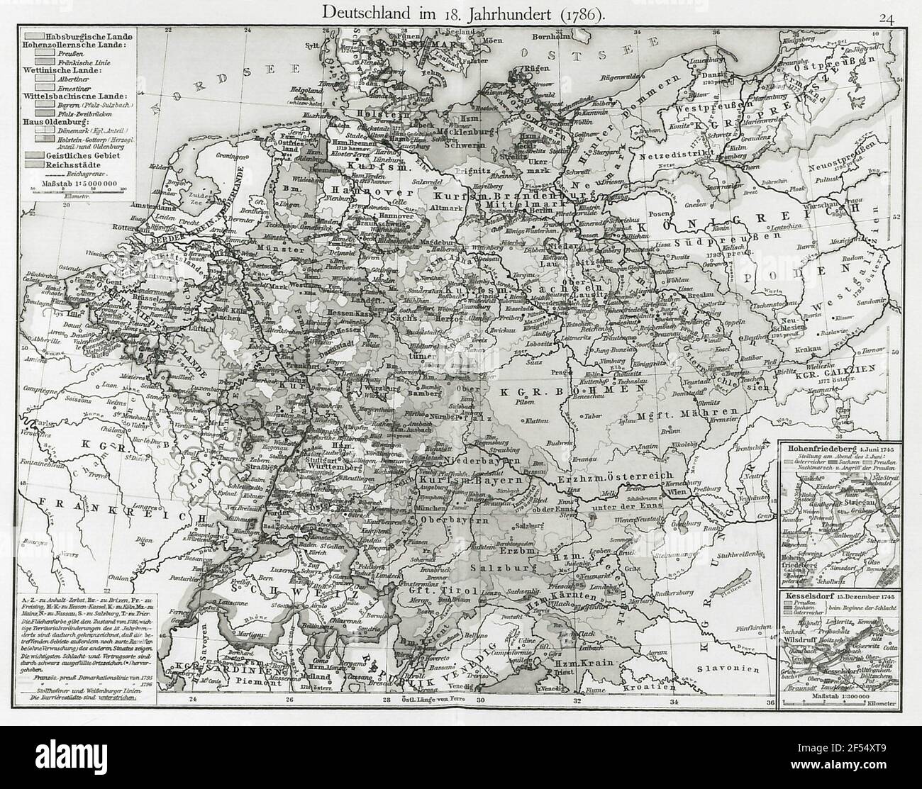
Germany in the 18th century (1786). Scale 1: 5000000. Map 24 from: F. W. Putzgers Historical School Atlas: To the old, medium and new history. Edited by Alfred Baldamus and Ernst Schwabe. Multi-color printing. Bielefeld and Leipzig: Velhagen & Klasing, 1904 (28th edition)

RMID:Image ID:2F54XT9
Image details
Contributor:
BTEU/Gerfototek / Alamy Stock PhotoImage ID:
2F54XT9File size:
14.3 MB (1.1 MB Compressed download)Releases:
Model - no | Property - noDo I need a release?Dimensions:
2519 x 1984 px | 21.3 x 16.8 cm | 8.4 x 6.6 inches | 300dpiMore information:
This image is a public domain image, which means either that copyright has expired in the image or the copyright holder has waived their copyright. Alamy charges you a fee for access to the high resolution copy of the image.
This image could have imperfections as it’s either historical or reportage.