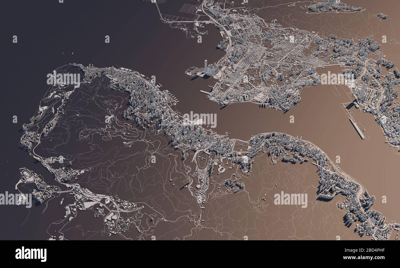
Hong Kong city map 3D Rendering. Aerial satellite view.
RFID:Image ID:2BD4PHF
Image details
Contributor:
Ink Drop / Alamy Stock PhotoImage ID:
2BD4PHFFile size:
42.9 MB (2.1 MB Compressed download)Releases:
Model - no | Property - noDo I need a release?Dimensions:
5000 x 3000 px | 42.3 x 25.4 cm | 16.7 x 10 inches | 300dpiMore information:
Hong Kong city map 3D Rendering. Aerial satellite view.