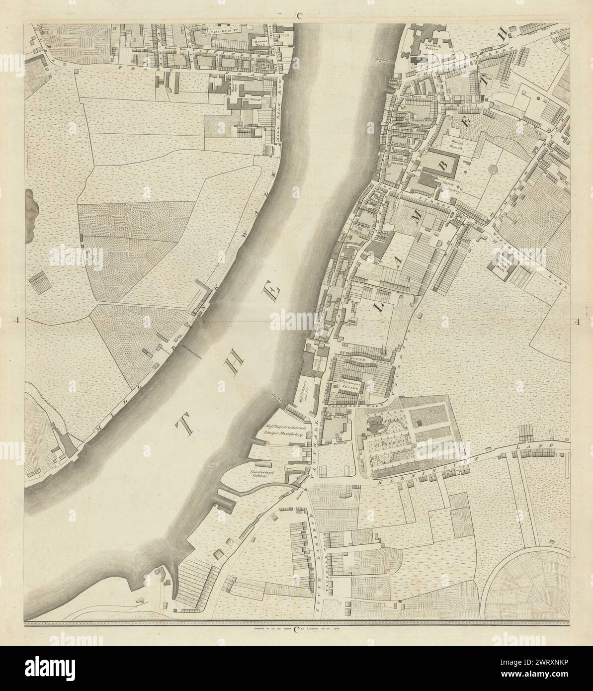
Horwood London C4 Westminster Millbank Vauxhall Lambeth Oval 1799 old map

RFID:Image ID:2WRXNKP
Image details
Contributor:
Antiqua Print Gallery / Alamy Stock PhotoImage ID:
2WRXNKPFile size:
414.2 MB (28 MB Compressed download)Releases:
Model - no | Property - noDo I need a release?Dimensions:
11531 x 12555 px | 97.6 x 106.3 cm | 38.4 x 41.9 inches | 300dpiDate taken:
1799Location:
LondonMore information:
This image could have imperfections as it’s either historical or reportage.
Sheet C4 - Westminster, Millbank, Vauxhall, Lambeth, Horseferry Road, Kennington Oval. Artist/engraver/cartographer: Richard Horwood. Provenance: A plan of the Cities of London & Westminster, the Borough of Southwark and Parts adjoining, Shewing every House, by R. Horwood [Howgego 94 (1)]. Type: Antique copperplate map.