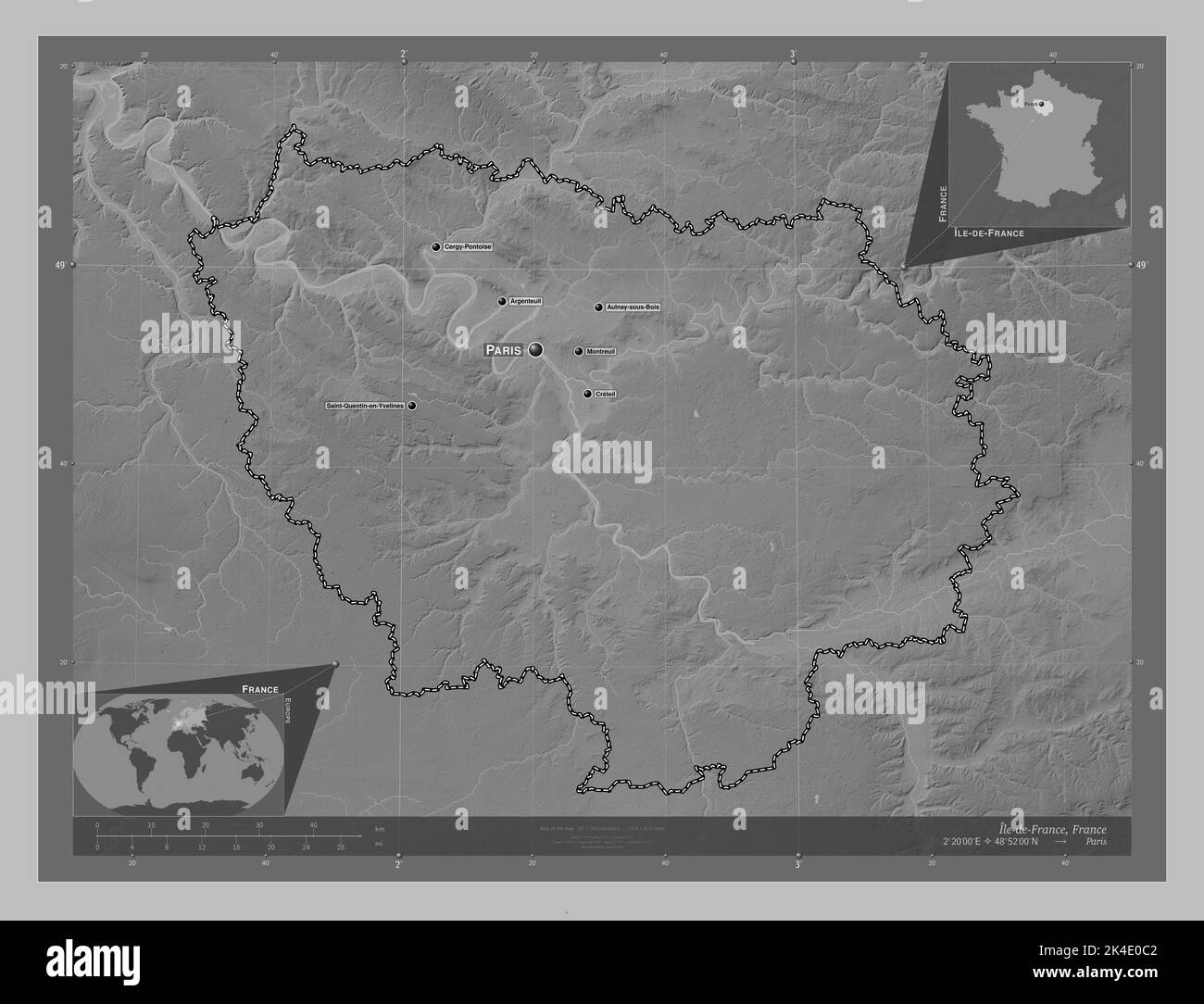
Ile-de-France, region of France. Grayscale elevation map with lakes and rivers. Locations and names of major cities of the region. Corner auxiliary lo
RFID:Image ID:2K4E0C2
Image details
Contributor:
Yarr65 / Alamy Stock PhotoImage ID:
2K4E0C2File size:
101.2 MB (3.1 MB Compressed download)Releases:
Model - no | Property - noDo I need a release?Dimensions:
6800 x 5200 px | 57.6 x 44 cm | 22.7 x 17.3 inches | 300dpiDate taken:
22 September 2022Location:
FranceMore information:
Ile-de-France, region of France. Grayscale elevation map with lakes and rivers. Locations and names of major cities of the region. Corner auxiliary location maps