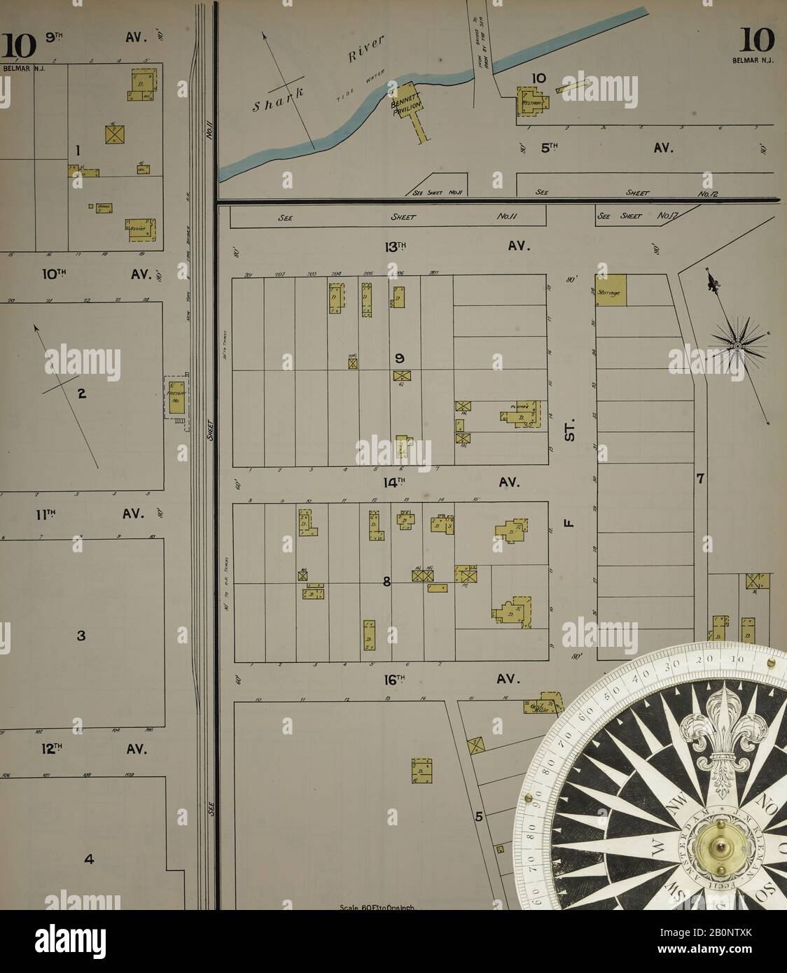
Image 11 of Sanborn Fire Insurance Map from New Jersey Coast, New Jersey Coast, New Jersey. 1890 Vol. 4. 42 Sheet(s). Includes Anglesea, Avalon, Cape May, Cape May Point, Holly Beach City, Mount Vernon, New Mount Vernon, Ocean City, Sea Isle City, Shellingers Landing, West Cape May, Wildwood Beach. Bound, America, street map with a Nineteenth Century compass
RMID:Image ID:2B0NTXK
Image details
Contributor:
Penta Springs Limited / Alamy Stock PhotoImage ID:
2B0NTXKFile size:
82.7 MB (2.3 MB Compressed download)Releases:
Model - no | Property - noDo I need a release?Dimensions:
5000 x 5779 px | 42.3 x 48.9 cm | 16.7 x 19.3 inches | 300dpiDate taken:
5 February 2020Photographer:
ArtokoloroMore information:
This image could have imperfections as it’s either historical or reportage.