···
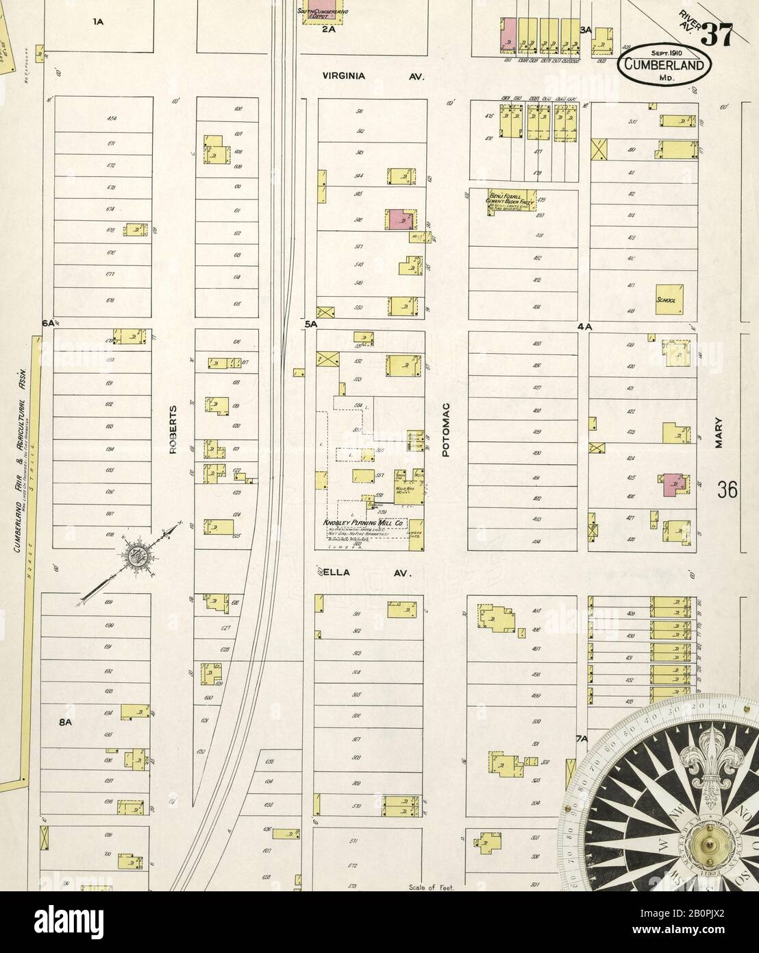
Image 37 of Sanborn Fire Insurance Map from Springfield, Greene County, Missouri. Aug 1902. 38 Sheet(s), America, street map with a Nineteenth Century compass Image details File size:
83.9 MB (2.9 MB Compressed download)
Open your image file to the full size using image processing software.
Dimensions:
5000 x 5864 px | 42.3 x 49.6 cm | 16.7 x 19.5 inches | 300dpi
Date taken:
5 February 2020
More information:
This image could have imperfections as it’s either historical or reportage.
Search stock photos by tags
Similar stock images Image 37 of Sanborn Fire Insurance Map from Bridgeport, Fairfield County, Connecticut. 1889. 37 Sheet(s). Bound, America, street map with a Nineteenth Century compass Stock Photo https://www.alamy.com/image-license-details/?v=1 https://www.alamy.com/image-37-of-sanborn-fire-insurance-map-from-bridgeport-fairfield-county-connecticut-1889-37-sheets-bound-america-street-map-with-a-nineteenth-century-compass-image344677684.html RM 2B0NBW8 – Image 37 of Sanborn Fire Insurance Map from Bridgeport, Fairfield County, Connecticut. 1889. 37 Sheet(s). Bound, America, street map with a Nineteenth Century compass Image 37 of Sanborn Fire Insurance Map from Chelsea, Suffolk County, Massachusetts. 1894. 38 Sheet(s). Bound, America, street map with a Nineteenth Century compass Stock Photo https://www.alamy.com/image-license-details/?v=1 https://www.alamy.com/image-37-of-sanborn-fire-insurance-map-from-chelsea-suffolk-county-massachusetts-1894-38-sheets-bound-america-street-map-with-a-nineteenth-century-compass-image344678356.html RM 2B0NCN8 – Image 37 of Sanborn Fire Insurance Map from Chelsea, Suffolk County, Massachusetts. 1894. 38 Sheet(s). Bound, America, street map with a Nineteenth Century compass Image 37 of Sanborn Fire Insurance Map from Johnstown, Cambria County, Pennsylvania. 1895. 52 Sheet(s). Bound, America, street map with a Nineteenth Century compass Stock Photo https://www.alamy.com/image-license-details/?v=1 https://www.alamy.com/image-37-of-sanborn-fire-insurance-map-from-johnstown-cambria-county-pennsylvania-1895-52-sheets-bound-america-street-map-with-a-nineteenth-century-compass-image344698763.html RM 2B0PAP3 – Image 37 of Sanborn Fire Insurance Map from Johnstown, Cambria County, Pennsylvania. 1895. 52 Sheet(s). Bound, America, street map with a Nineteenth Century compass Image 37 of Sanborn Fire Insurance Map from Allegheny, Allegheny County, Pennsylvania. 1893. 125 Sheet(s). Bound, America, street map with a Nineteenth Century compass Stock Photo https://www.alamy.com/image-license-details/?v=1 https://www.alamy.com/image-37-of-sanborn-fire-insurance-map-from-allegheny-allegheny-county-pennsylvania-1893-125-sheets-bound-america-street-map-with-a-nineteenth-century-compass-image344703835.html RM 2B0PH77 – Image 37 of Sanborn Fire Insurance Map from Allegheny, Allegheny County, Pennsylvania. 1893. 125 Sheet(s). Bound, America, street map with a Nineteenth Century compass Image 37 of Sanborn Fire Insurance Map from Harrisburg, Dauphin County, Pennsylvania. 1890. 42 Sheet(s). Bound, America, street map with a Nineteenth Century compass Stock Photo https://www.alamy.com/image-license-details/?v=1 https://www.alamy.com/image-37-of-sanborn-fire-insurance-map-from-harrisburg-dauphin-county-pennsylvania-1890-42-sheets-bound-america-street-map-with-a-nineteenth-century-compass-image344697127.html RM 2B0P8KK – Image 37 of Sanborn Fire Insurance Map from Harrisburg, Dauphin County, Pennsylvania. 1890. 42 Sheet(s). Bound, America, street map with a Nineteenth Century compass Image 37 of Sanborn Fire Insurance Map from Altoona, Blair County, Pennsylvania. 1894. 43 Sheet(s). Bound, America, street map with a Nineteenth Century compass Stock Photo https://www.alamy.com/image-license-details/?v=1 https://www.alamy.com/image-37-of-sanborn-fire-insurance-map-from-altoona-blair-county-pennsylvania-1894-43-sheets-bound-america-street-map-with-a-nineteenth-century-compass-image344692781.html RM 2B0P34D – Image 37 of Sanborn Fire Insurance Map from Altoona, Blair County, Pennsylvania. 1894. 43 Sheet(s). Bound, America, street map with a Nineteenth Century compass Image 37 of Sanborn Fire Insurance Map from Brockton, Plymouth County, Massachusetts. 1893. 52 Sheet(s). Bound, America, street map with a Nineteenth Century compass Stock Photo https://www.alamy.com/image-license-details/?v=1 https://www.alamy.com/image-37-of-sanborn-fire-insurance-map-from-brockton-plymouth-county-massachusetts-1893-52-sheets-bound-america-street-map-with-a-nineteenth-century-compass-image344678111.html RM 2B0NCCF – Image 37 of Sanborn Fire Insurance Map from Brockton, Plymouth County, Massachusetts. 1893. 52 Sheet(s). Bound, America, street map with a Nineteenth Century compass Image 37 of Sanborn Fire Insurance Map from Chester, Delaware County, Pennsylvania. 1898. 56 Sheet(s). Bound, America, street map with a Nineteenth Century compass Stock Photo https://www.alamy.com/image-license-details/?v=1 https://www.alamy.com/image-37-of-sanborn-fire-insurance-map-from-chester-delaware-county-pennsylvania-1898-56-sheets-bound-america-street-map-with-a-nineteenth-century-compass-image344694724.html RM 2B0P5HT – Image 37 of Sanborn Fire Insurance Map from Chester, Delaware County, Pennsylvania. 1898. 56 Sheet(s). Bound, America, street map with a Nineteenth Century compass Image 37 of Sanborn Fire Insurance Map from Wilmington, New Castle County, Delaware. 1901. 80 Sheet(s), America, street map with a Nineteenth Century compass Stock Photo https://www.alamy.com/image-license-details/?v=1 https://www.alamy.com/image-37-of-sanborn-fire-insurance-map-from-wilmington-new-castle-county-delaware-1901-80-sheets-america-street-map-with-a-nineteenth-century-compass-image344681326.html RM 2B0NGFA – Image 37 of Sanborn Fire Insurance Map from Wilmington, New Castle County, Delaware. 1901. 80 Sheet(s), America, street map with a Nineteenth Century compass Image 37 of Sanborn Fire Insurance Map from McKeesport, Allegheny County, Pennsylvania. 1894. 40 Sheet(s). Bound, America, street map with a Nineteenth Century compass Stock Photo https://www.alamy.com/image-license-details/?v=1 https://www.alamy.com/image-37-of-sanborn-fire-insurance-map-from-mckeesport-allegheny-county-pennsylvania-1894-40-sheets-bound-america-street-map-with-a-nineteenth-century-compass-image344701006.html RM 2B0PDJ6 – Image 37 of Sanborn Fire Insurance Map from McKeesport, Allegheny County, Pennsylvania. 1894. 40 Sheet(s). Bound, America, street map with a Nineteenth Century compass Image 37 of Sanborn Fire Insurance Map from Bridgeport, Fairfield County, Connecticut. 1898. 75 Sheet(s). Bound, America, street map with a Nineteenth Century compass Stock Photo https://www.alamy.com/image-license-details/?v=1 https://www.alamy.com/image-37-of-sanborn-fire-insurance-map-from-bridgeport-fairfield-county-connecticut-1898-75-sheets-bound-america-street-map-with-a-nineteenth-century-compass-image344677776.html RM 2B0NC0G – Image 37 of Sanborn Fire Insurance Map from Bridgeport, Fairfield County, Connecticut. 1898. 75 Sheet(s). Bound, America, street map with a Nineteenth Century compass Image 37 of Sanborn Fire Insurance Map from Reading, Berks County, Pennsylvania. 1887. 48 Sheet(s). Bound, America, street map with a Nineteenth Century compass Stock Photo https://www.alamy.com/image-license-details/?v=1 https://www.alamy.com/image-37-of-sanborn-fire-insurance-map-from-reading-berks-county-pennsylvania-1887-48-sheets-bound-america-street-map-with-a-nineteenth-century-compass-image344704718.html RM 2B0PJAP – Image 37 of Sanborn Fire Insurance Map from Reading, Berks County, Pennsylvania. 1887. 48 Sheet(s). Bound, America, street map with a Nineteenth Century compass 