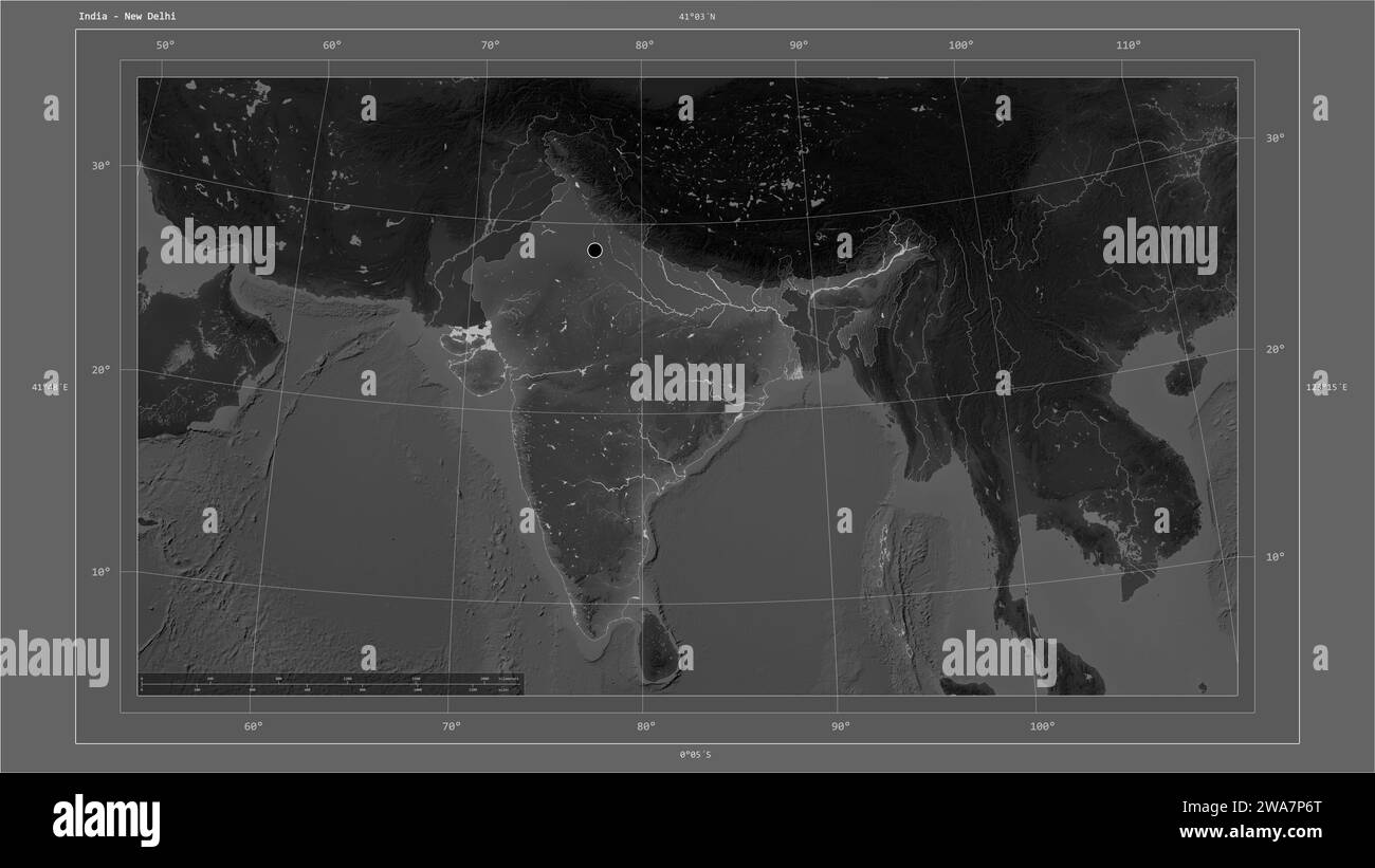
India highlighted on a Grayscale elevation map with lakes and rivers map with the country's capital point, cartographic grid, distance scale and map b
RFID:Image ID:2WA7P6T
Image details
Contributor:
Danuta Zelwan / Alamy Stock PhotoImage ID:
2WA7P6TFile size:
148.3 MB (3.1 MB Compressed download)Releases:
Model - no | Property - noDo I need a release?Dimensions:
9600 x 5400 px | 81.3 x 45.7 cm | 32 x 18 inches | 300dpiLocation:
IndiaMore information:
India highlighted on a Grayscale elevation map with lakes and rivers map with the country's capital point, cartographic grid, distance scale and map border coordinates