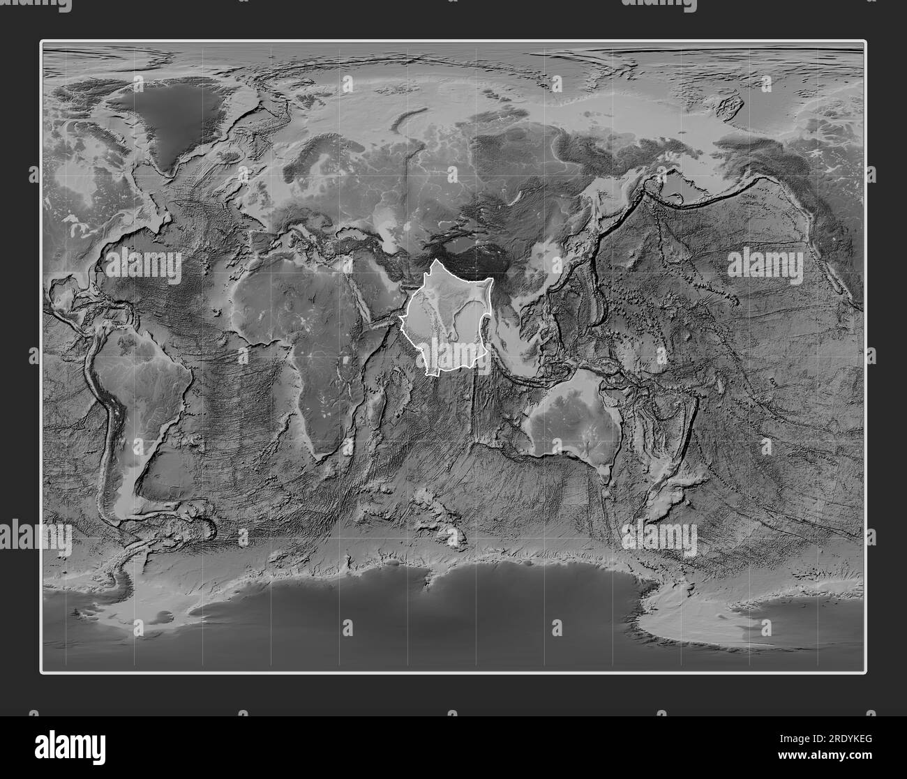
Indian tectonic plate on the grayscale elevation map in the Gall Stereographic projection centered meridionally.
RFID:Image ID:2RDYKEG
Image details
Contributor:
Yarr65 / Alamy Stock PhotoImage ID:
2RDYKEGFile size:
208.3 MB (10.4 MB Compressed download)Releases:
Model - no | Property - noDo I need a release?Dimensions:
9600 x 7584 px | 81.3 x 64.2 cm | 32 x 25.3 inches | 300dpi