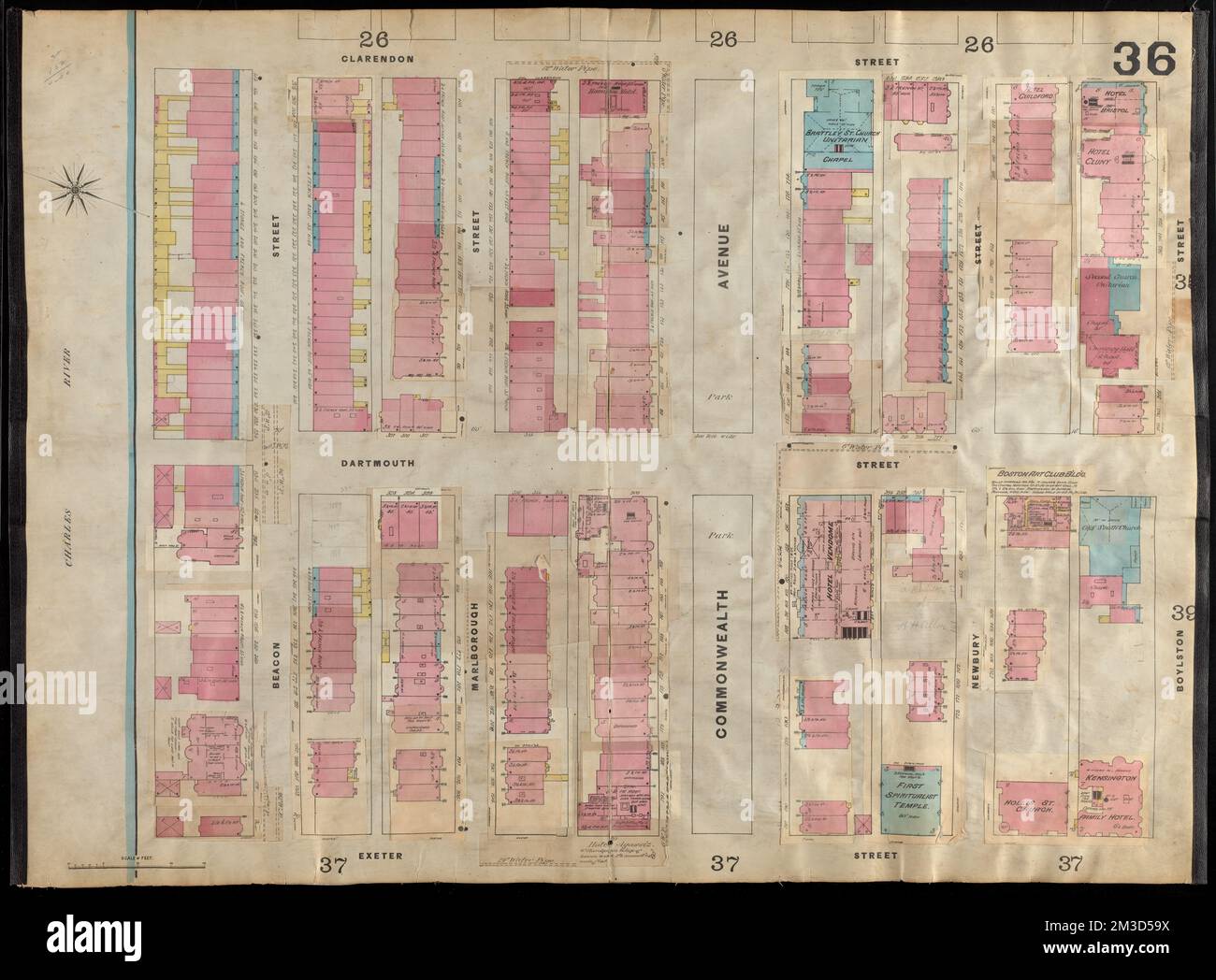
Insurance maps of Boston volume two : plate 36 , Fire risk assessment, Massachusetts, Boston, Maps, Back Bay Boston, Mass., Maps Norman B. Leventhal Map Center Collection
RMID:Image ID:2M3D59X
Image details
Contributor:
piemags/DCM / Alamy Stock PhotoImage ID:
2M3D59XFile size:
135 MB (5.9 MB Compressed download)Releases:
Model - no | Property - noDo I need a release?Dimensions:
7999 x 5899 px | 67.7 x 49.9 cm | 26.7 x 19.7 inches | 300dpiMore information:
This image is a public domain image, which means either that copyright has expired in the image or the copyright holder has waived their copyright. Alamy charges you a fee for access to the high resolution copy of the image.
This image could have imperfections as it’s either historical or reportage.