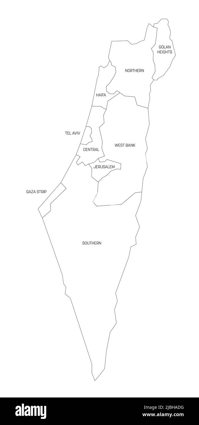
Israel - administrative map of districts
RFID:Image ID:2JBHADG
Image details
Contributor:
pytyczech / Alamy Stock VectorImage ID:
2JBHADGReleases:
Model - no | Property - noDo I need a release?Location:
Czech RepublicMore information:
Black outline political map of Israel. Administrative divisions - districts and three special territories - Gaza Strip, West Bank and Golan Heights. Simple flat vector map with labels.