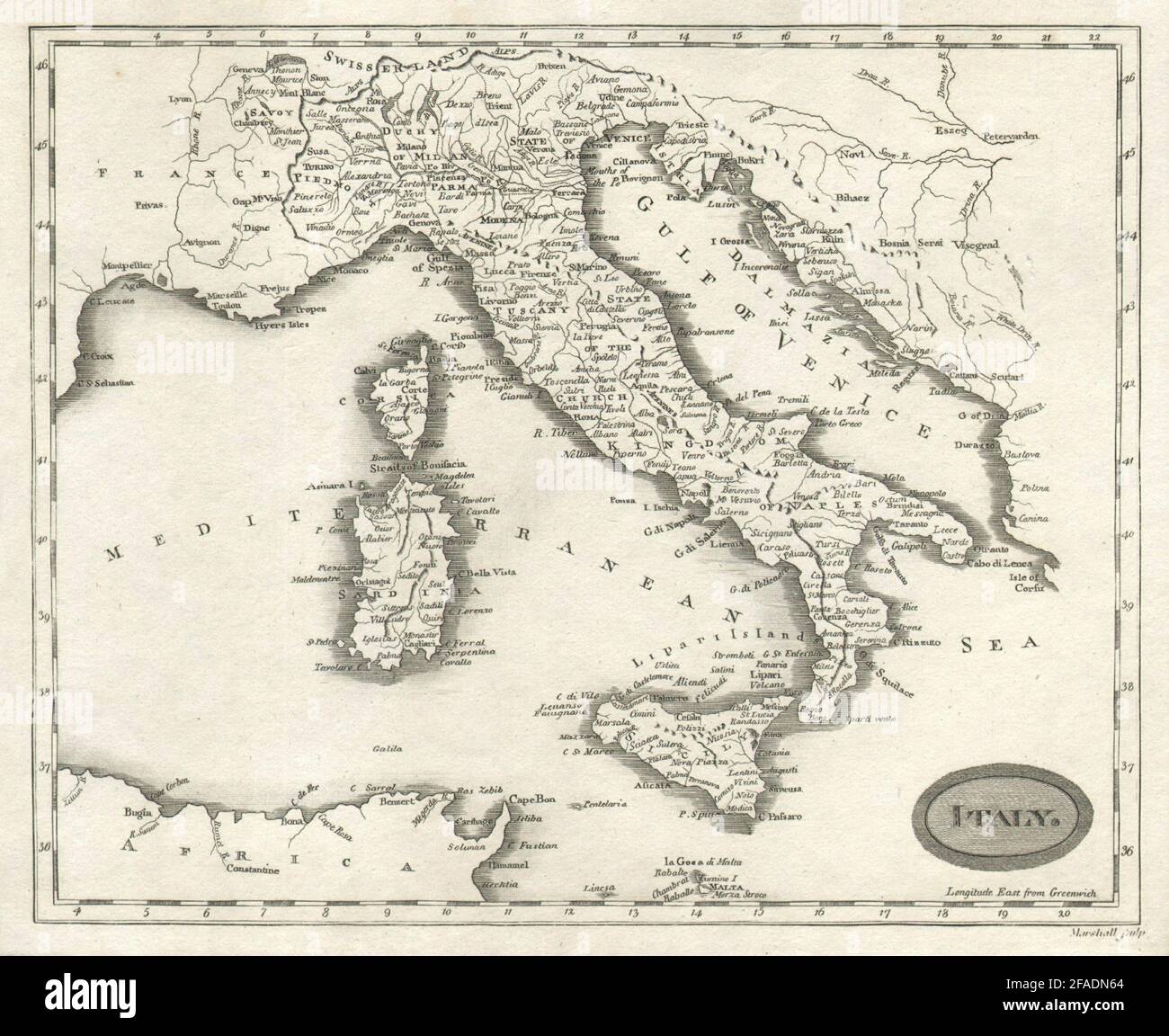
Italy by Arrowsmith & Lewis 1812 old antique vintage map plan chart
RFID:Image ID:2FADN64
Image details
Contributor:
Antiqua Print Gallery / Alamy Stock PhotoImage ID:
2FADN64File size:
22.5 MB (1.2 MB Compressed download)Releases:
Model - no | Property - noDo I need a release?Dimensions:
3103 x 2537 px | 26.3 x 21.5 cm | 10.3 x 8.5 inches | 300dpiDate taken:
1812Location:
ItalyMore information:
This image could have imperfections as it’s either historical or reportage.
Italy. Artist/engraver/cartographer: Arrowsmith, Aaron & Lewis, Samuel. Provenance: "A New and Elegant General Atlas comprising all the new discoveries, to the present time", containing sixty-three maps drawn by Arrowsmith and Lewis, published by Thomas & Andrews, 45 Newbury Street, Boston, May 1812. Type: Antique steel engraved map.