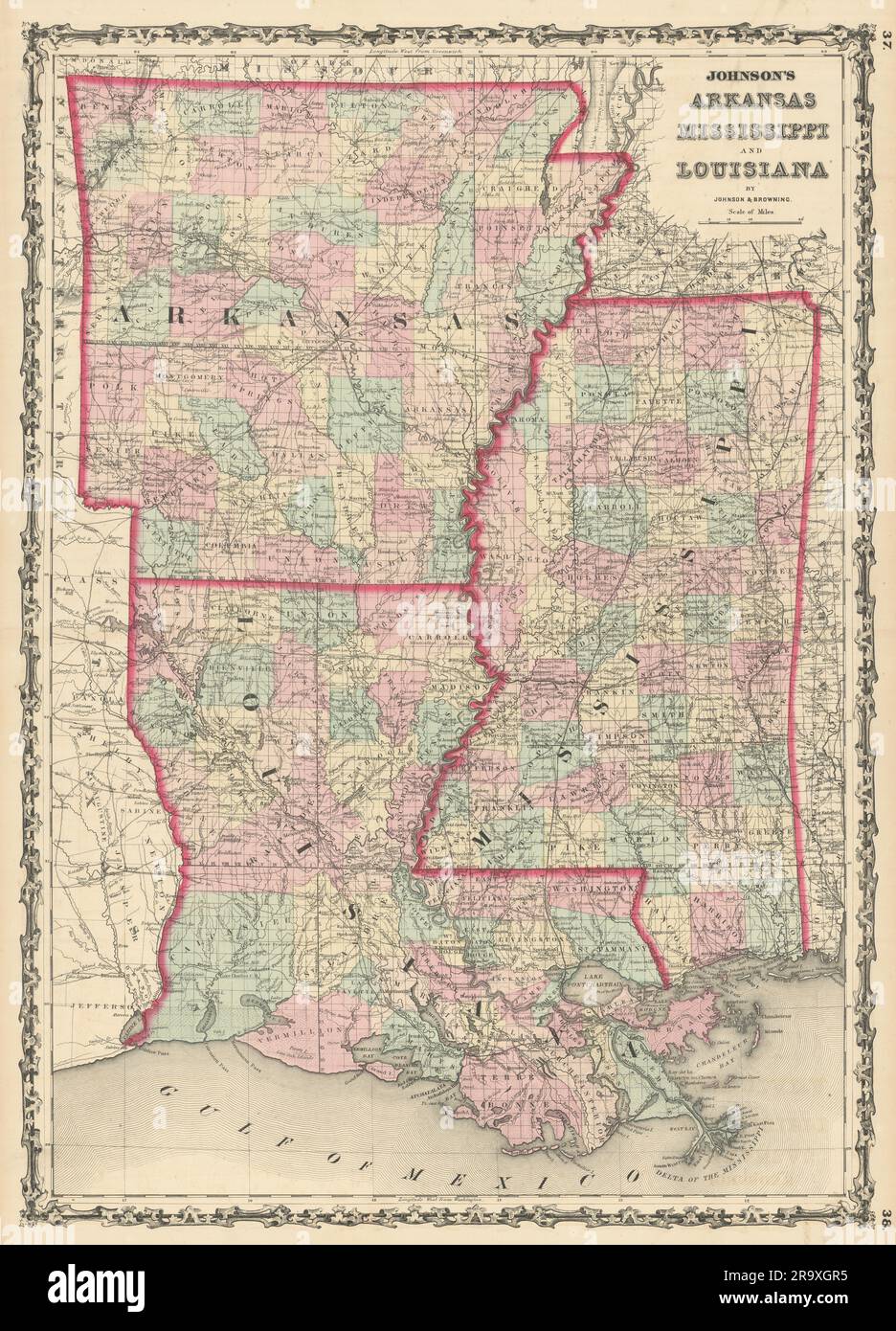
Johnson's Arkansas, Mississippi & Louisiana showing counties/parishes 1861 map
RFID:Image ID:2R9XGR5
Image details
Contributor:
Antiqua Print Gallery / Alamy Stock PhotoImage ID:
2R9XGR5File size:
458.2 MB (40.5 MB Compressed download)Releases:
Model - no | Property - noDo I need a release?Dimensions:
10742 x 14909 px | 90.9 x 126.2 cm | 35.8 x 49.7 inches | 300dpiDate taken:
1861Location:
Mississippi & LouisianaMore information:
This image could have imperfections as it’s either historical or reportage.
Johnson's Arkansas, Mississippi and Louisiana . Artist/engraver/cartographer: Alvin Jewett Johnson. Provenance: "Johnson's New Illustrated Family Atlas", Johnson and Browning, formerly (Successors to J.H. Colton and Company), No. 133 Nassau Street [Johnson's New Illustrated Family Atlas]. Type: Large, decorative hand coloured 19th century atlas map.