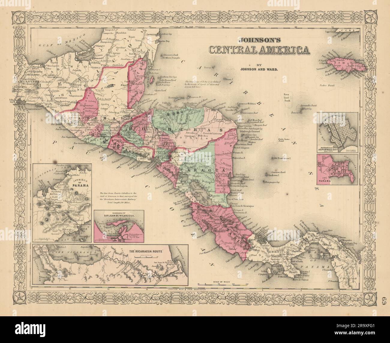
Johnson's Central America. Guatemala Honduras Nicaragua Costa Rica 1866 map
RFID:Image ID:2R9XFG1
Image details
Contributor:
Antiqua Print Gallery / Alamy Stock PhotoImage ID:
2R9XFG1File size:
233.3 MB (14.9 MB Compressed download)Releases:
Model - no | Property - noDo I need a release?Dimensions:
10030 x 8130 px | 84.9 x 68.8 cm | 33.4 x 27.1 inches | 300dpiDate taken:
1866Location:
Central AmericaMore information:
This image could have imperfections as it’s either historical or reportage.
Johnson's Central America // Isthmus of Panama, Harbor of San Juan De Nicaragua - The "Nicaragua Route", Manzanilla I. Aspinwall City Navy Bay - City of Panama. Artist/engraver/cartographer: Alvin Jewett Johnson. Provenance: "Johnson's New Illustrated Family Atlas", Johnson and Ward, 113 Fulton Street, New York [Johnson's New Illustrated Family Atlas]. Type: Large, decorative hand coloured 19th century atlas map.