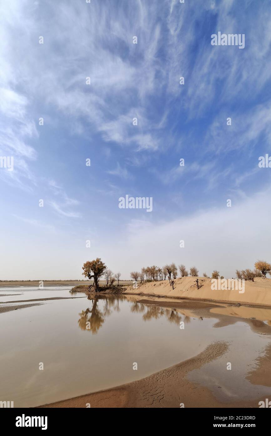
Keriya River flowing N.into the TaklaMakan desert. Xinjiang Uyghur Region-China-0329
RFID:Image ID:2C23DRD
Image details
Contributor:
RWEISSWALD / Alamy Stock PhotoImage ID:
2C23DRDFile size:
49.6 MB (1.1 MB Compressed download)Releases:
Model - no | Property - noDo I need a release?Dimensions:
3400 x 5100 px | 28.8 x 43.2 cm | 11.3 x 17 inches | 300dpiDate taken:
6 October 2017Location:
Taklamakan Desert, Keriya County, Xinjiang Uyghur Autonomous region, ChinaMore information:
Keriya River supplies several oases-flows N.into the TaklaMakan desert to an endorheic delta where it gets lost in the sand. Keriya Yutian County-Hotan Pref.-Xinjiang Uyghur Autonomous Region-China.