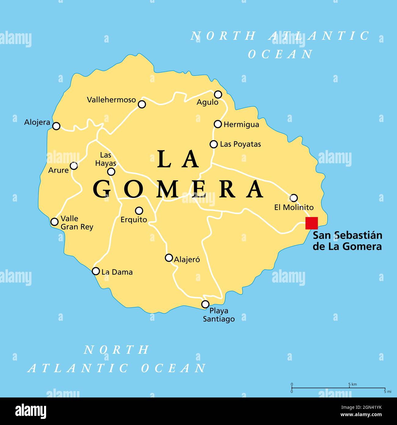
La Gomera island, political map, with capital San Sebastian de La Gomera. One of the Canary Islands, an archipelago and autonomous community of Spain.
RFID:Image ID:2GN41YK
Image details
Contributor:
Peter Hermes Furian / Alamy Stock PhotoImage ID:
2GN41YKFile size:
103 MB (749.2 KB Compressed download)Releases:
Model - no | Property - noDo I need a release?Dimensions:
6000 x 6000 px | 50.8 x 50.8 cm | 20 x 20 inches | 300dpiDate taken:
22 September 2021Location:
La GomeraMore information:
La Gomera island, political map, with capital San Sebastian de La Gomera. One of the Canary Islands, an archipelago and autonomous community of Spain, in North Atlantic Ocean, off the coast of Africa.