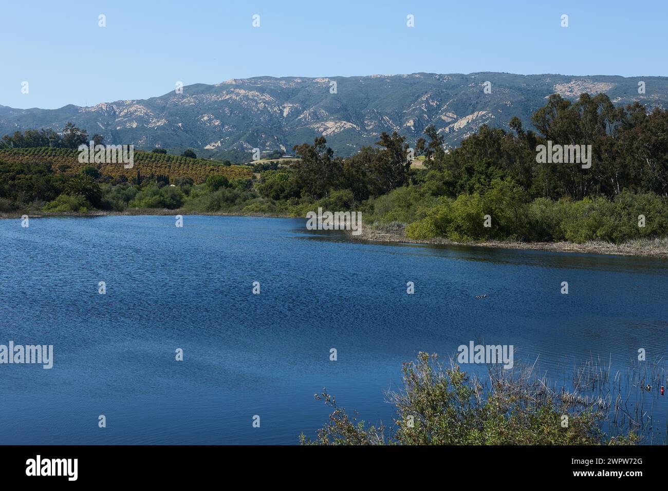
Lake Los Carneros
RFID:Image ID:2WPW72G
Image details
Contributor:
Stuart Barry / Alamy Stock PhotoImage ID:
2WPW72GFile size:
55.2 MB (3.5 MB Compressed download)Releases:
Model - no | Property - noDo I need a release?Dimensions:
5382 x 3588 px | 45.6 x 30.4 cm | 17.9 x 12 inches | 300dpiDate taken:
10 May 2023Location:
Santa Barbara, California, USAMore information:
Carneros Creek is a southward flowing stream originating in the Santa Ynez Mountains, in Santa Barbara County, California. It flows to Lake Los Carneros Park, under U. S. Highway 101 where it runs in a man-made channel diverted to the west of Santa Barbara Municipal Airport, until it meets Goleta Slough, from whence its waters flow to the Santa Barbara Channel of the Pacific Ocean.