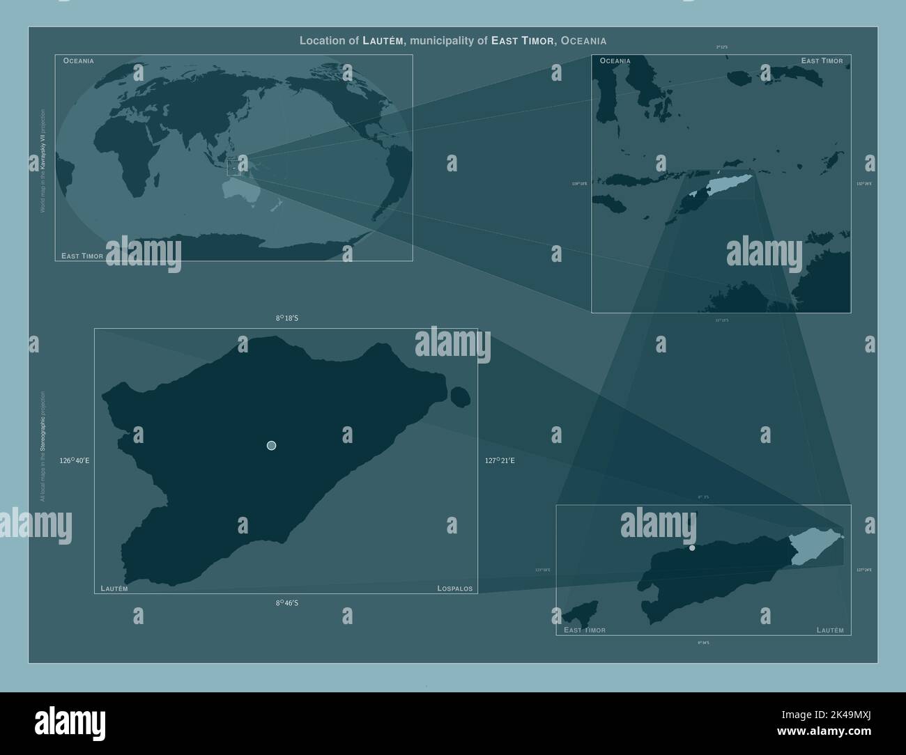
Lautem, municipality of East Timor. Diagram showing the location of the region on larger-scale maps. Composition of vector frames and PNG shapes on a
RFID:Image ID:2K49MXJ
Image details
Contributor:
Yarr65 / Alamy Stock PhotoImage ID:
2K49MXJFile size:
101.2 MB (642.9 KB Compressed download)Releases:
Model - no | Property - noDo I need a release?Dimensions:
6800 x 5200 px | 57.6 x 44 cm | 22.7 x 17.3 inches | 300dpiDate taken:
22 September 2022Location:
East TimorMore information:
Lautem, municipality of East Timor. Diagram showing the location of the region on larger-scale maps. Composition of vector frames and PNG shapes on a solid background