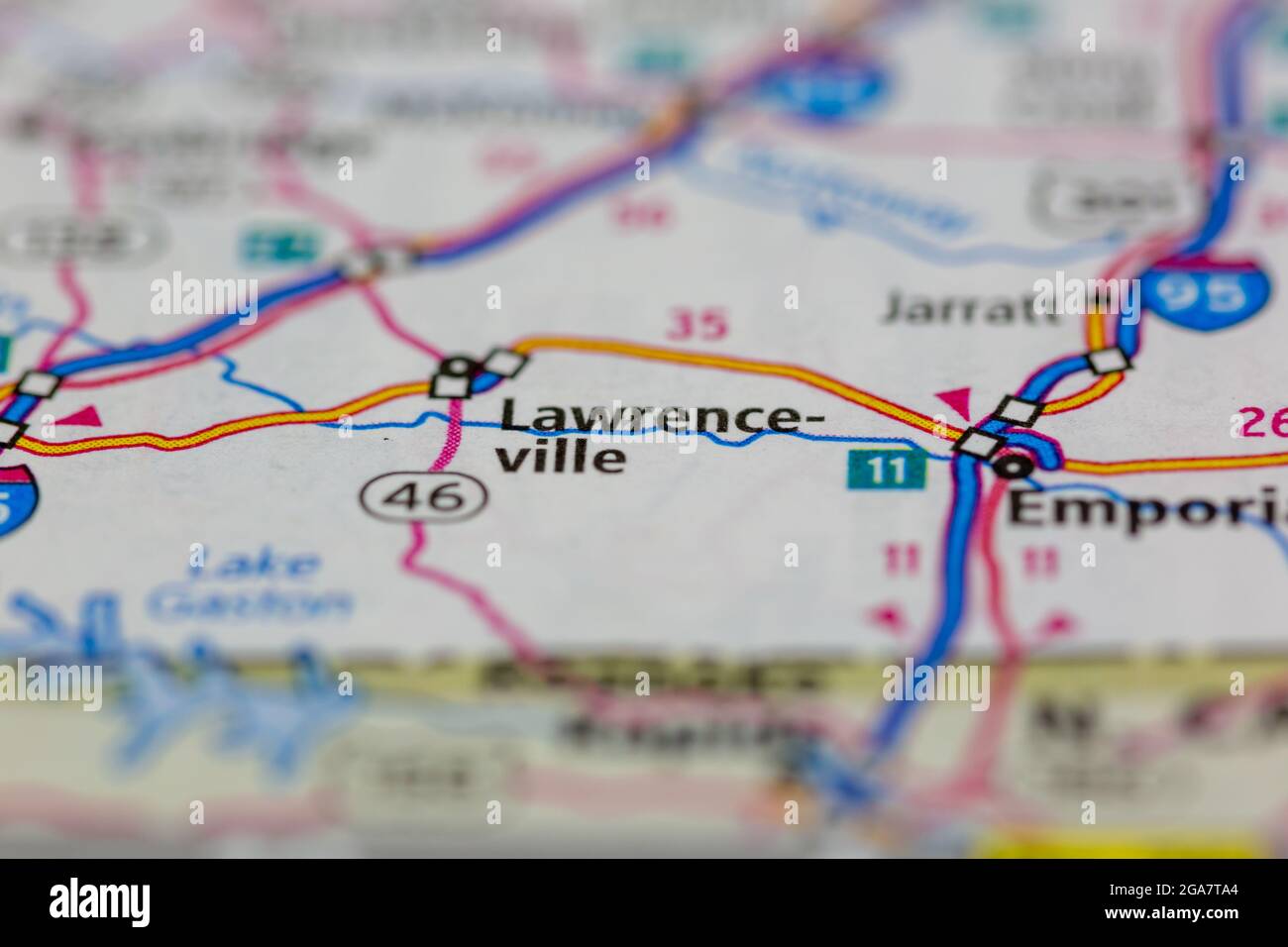
Lawrenceville Virginia shown on a road map or Geography map
RMID:Image ID:2GA7TA4
Image details
Contributor:
GH Maps / Alamy Stock PhotoImage ID:
2GA7TA4File size:
54.3 MB (1 MB Compressed download)Releases:
Model - no | Property - noDo I need a release?Dimensions:
5335 x 3557 px | 45.2 x 30.1 cm | 17.8 x 11.9 inches | 300dpiDate taken:
29 July 2021Location:
Portsmouth, Hampshire, UK