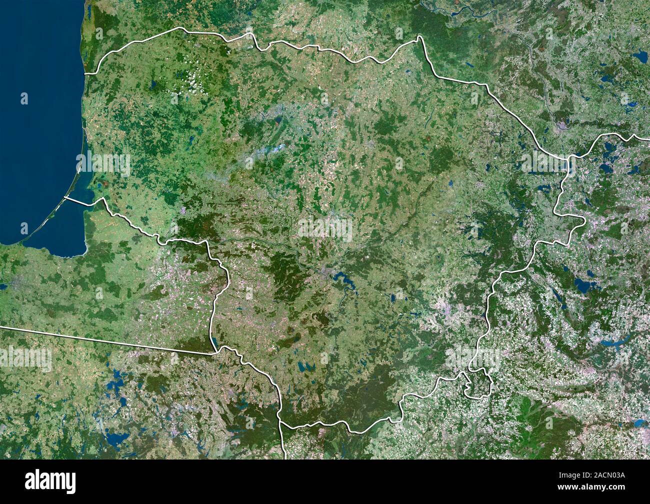
Lithuania, satellite image. North is at top. Natural colour satellite image showing Lithuania (centre) and the surrounding territories. Lithuania is l
RMID:Image ID:2ACN03A
Image details
Contributor:
Science Photo Library / Alamy Stock PhotoImage ID:
2ACN03AFile size:
49 MB (5 MB Compressed download)Releases:
Model - no | Property - noDo I need a release?Dimensions:
4919 x 3481 px | 41.6 x 29.5 cm | 16.4 x 11.6 inches | 300dpiDate taken:
31 May 2012Photographer:
PLANETOBSERVER/SCIENCE PHOTO LIBRARYMore information:
Lithuania, satellite image. North is at top. Natural colour satellite image showing Lithuania (centre) and the surrounding territories. Lithuania is located in the Baltic region of Northern Europe and is the largest of the three Baltic states. It is bordered by Latvia (top), Belarus (lower right), Poland (lower left), and the Russian exclave of Kaliningrad Oblast (centre left). The Baltic Sea (blue) is at upper left. Image compiled from data acquired by the LANDSAT 5 and 7 satellites, in 2000.