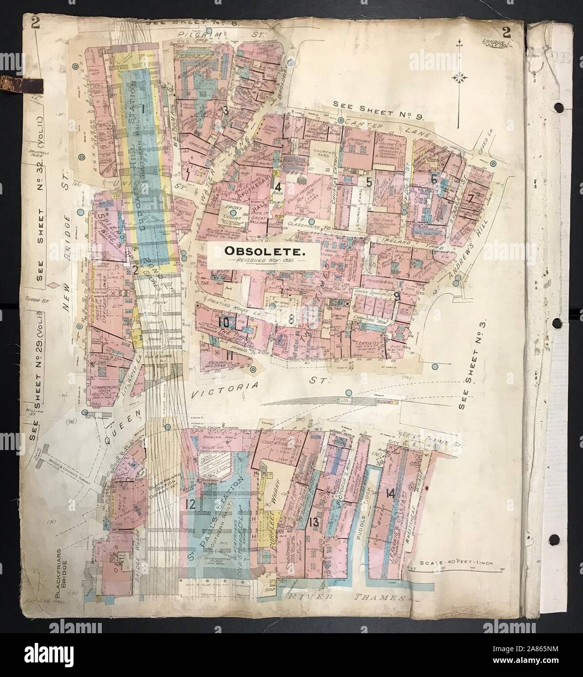
London EC4Y EC4V Blackfriars Queen Victoria Street New Bridge St GOAD 1904 map

Image details
Contributor:
Antiqua Print Gallery / Alamy Stock PhotoImage ID:
2A865NMFile size:
7.3 MB (481 KB Compressed download)Releases:
Model - no | Property - noDo I need a release?Dimensions:
1532 x 1663 px | 25.9 x 28.2 cm | 10.2 x 11.1 inches | 150dpiDate taken:
1904Location:
LondonMore information:
This image could have imperfections as it’s either historical or reportage.
Blackfriars - Queen Victoria Street - Carter Lane - St Andrews Hill - New Bridge Street - Pilgrim Street. Artist/engraver/cartographer: Charles Goad & Co. Provenance: Charles Goad & Co. Type: Lithographed map with original hand colouring and later overlay revisions; scale 40 feet to 1 inch. This map is marked as obsolete primarily because of the closure of Ludgate Hill Station in 1929 on what is now roughly the site of the City Thameslink station. These very scarce maps were prepared by the civil engineering firm Charles Goad and Co for insurance and related purposes. The circulation of these plans amongst insurance companies, fire brigades and other interested parties was strictly controlled by Goad on a rental basis, and apparently never sold. They were revised and updated, sometimes for decades after publication. Many of these maps show Second World War bomb damage (Buildings damaged or destroyed by bombs are marked green), and later post-war redevelopment. They provide a historical insight into the changing landscape of the City during the middle decades of the twentieth century.